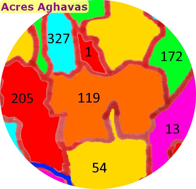
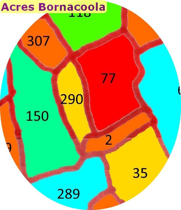
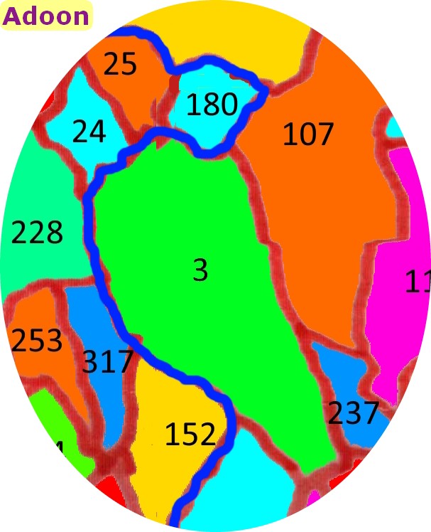
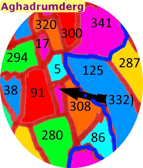
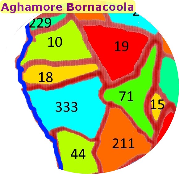
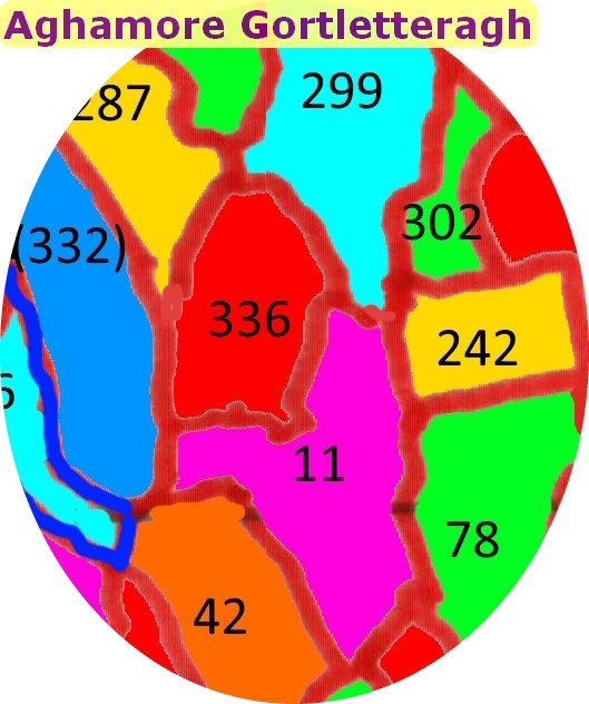
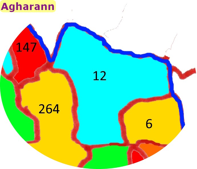
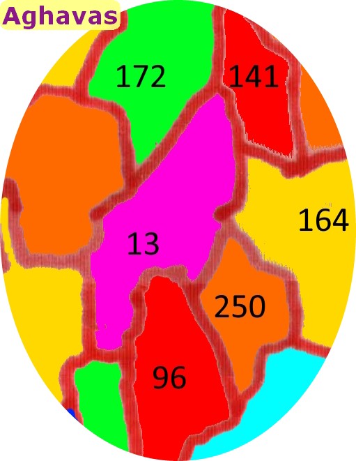
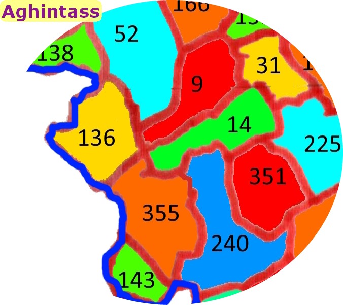
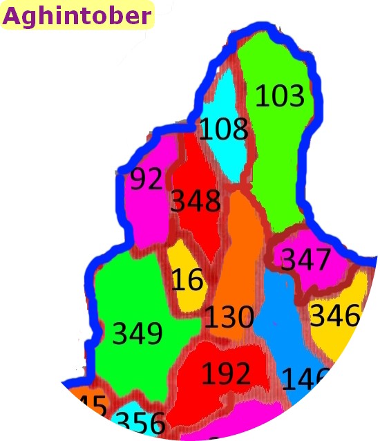
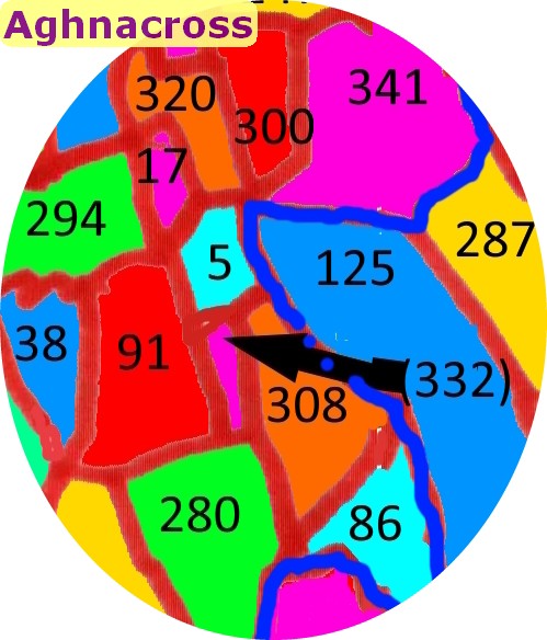
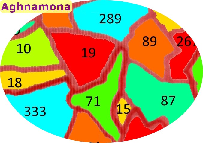
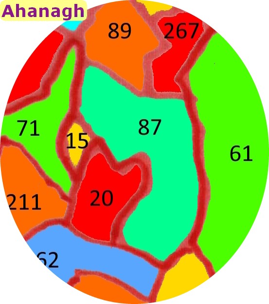
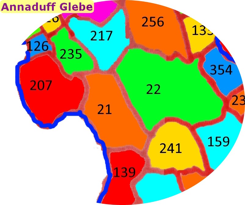
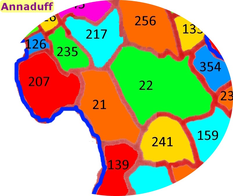
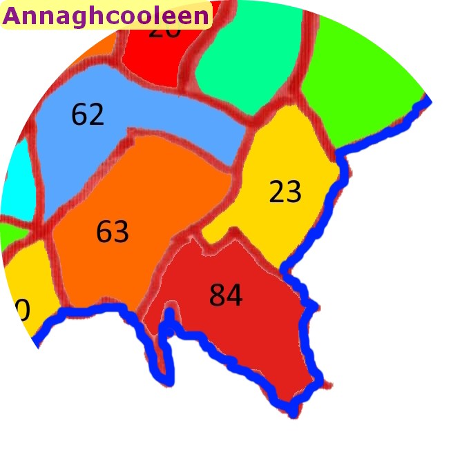
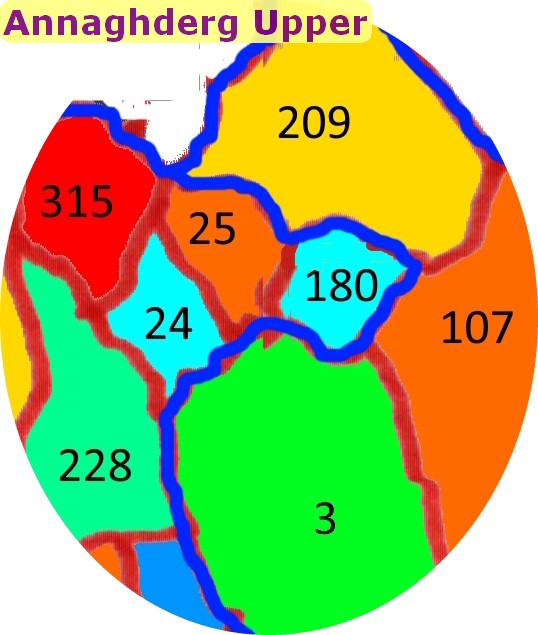
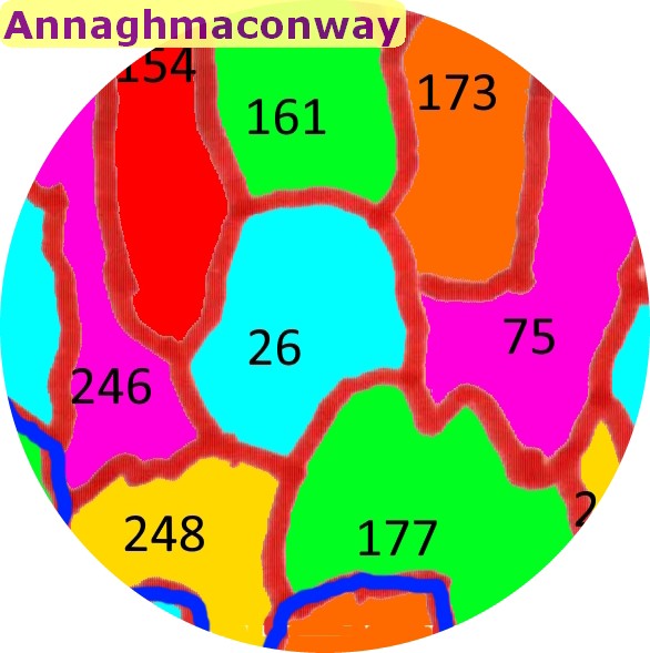
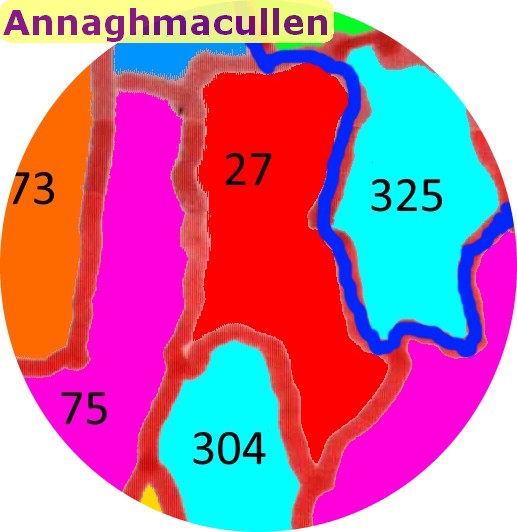
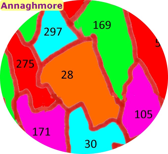
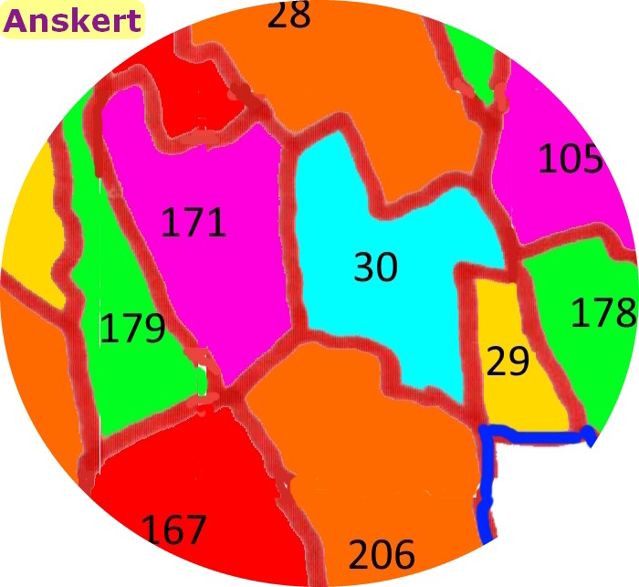
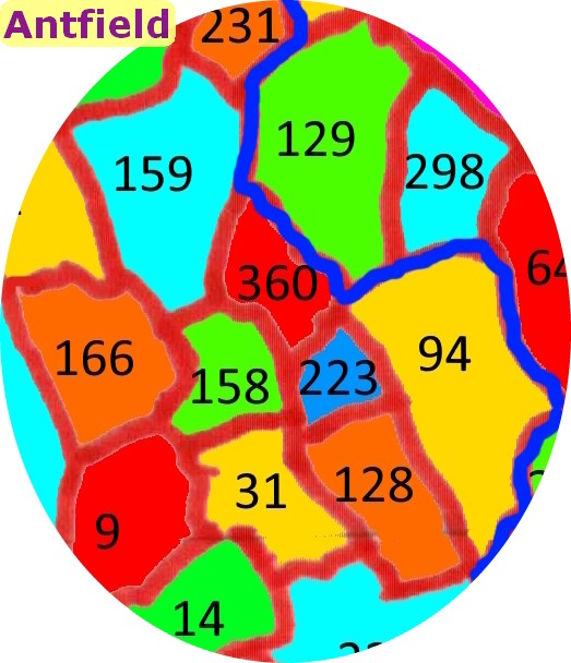
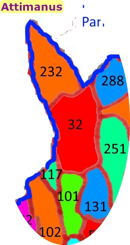
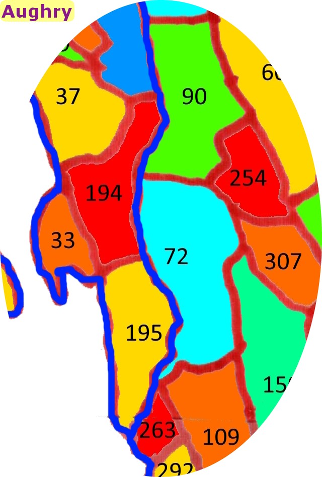
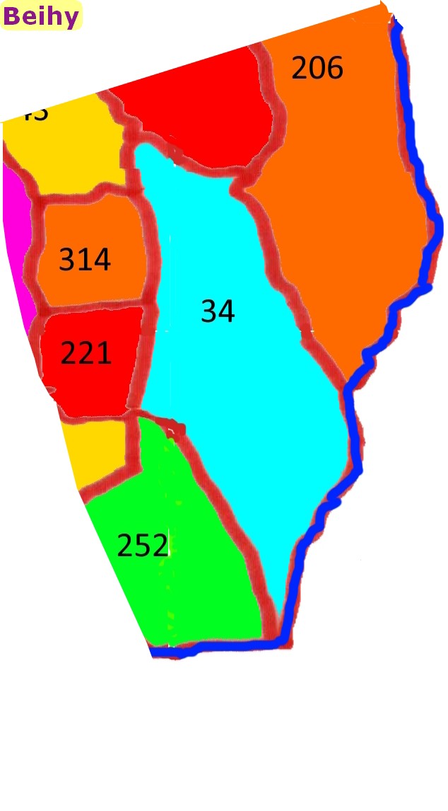
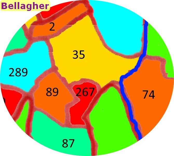
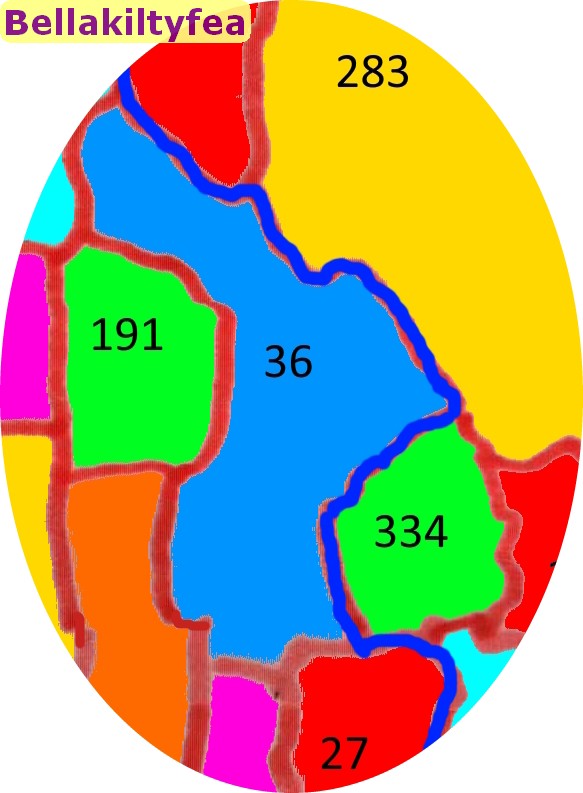
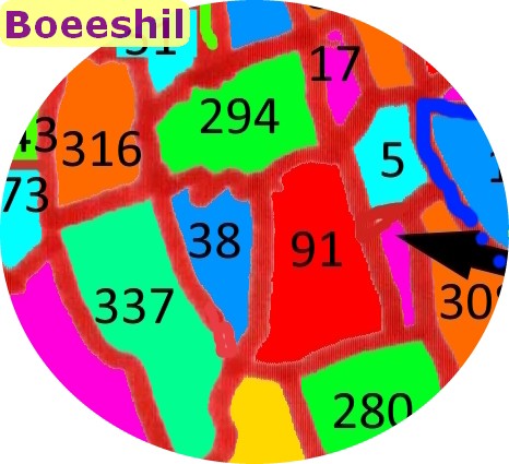
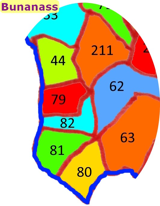
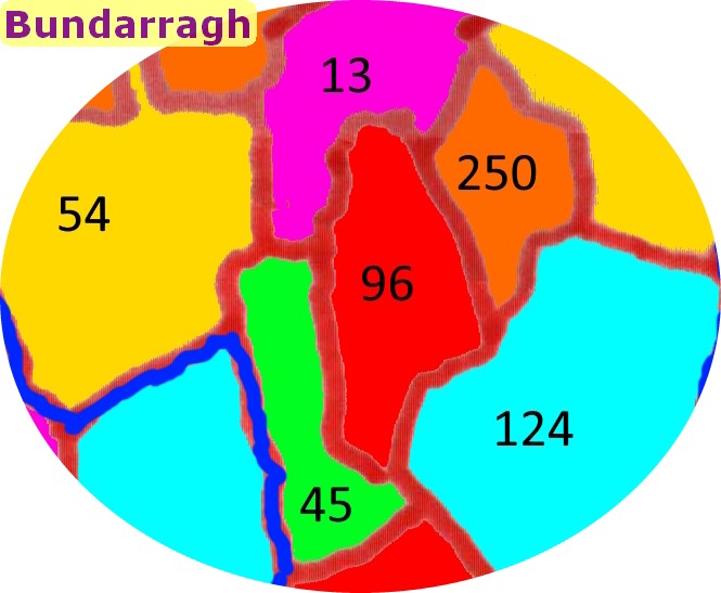
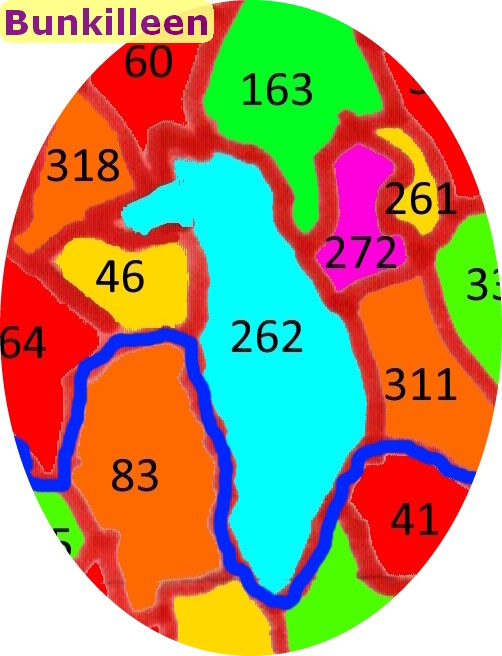
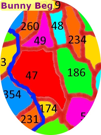
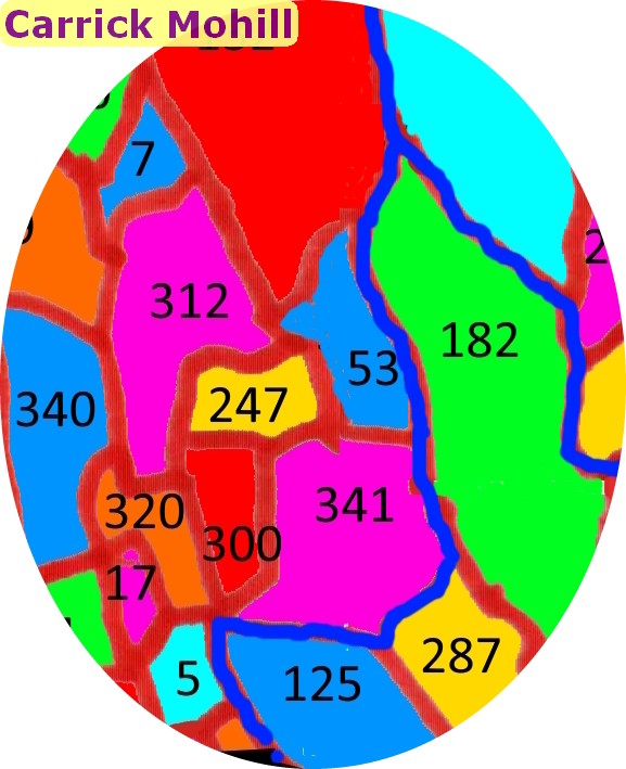
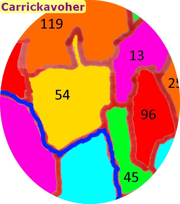
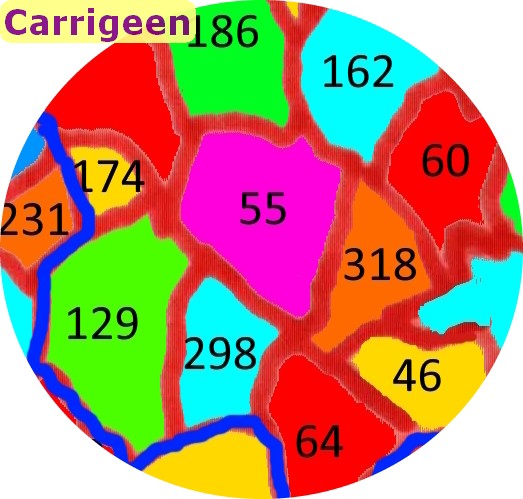
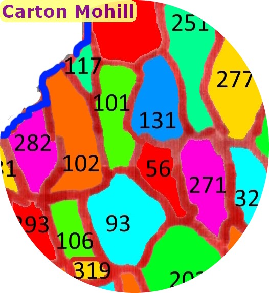
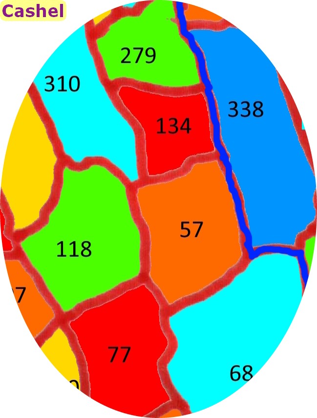
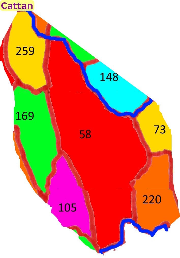
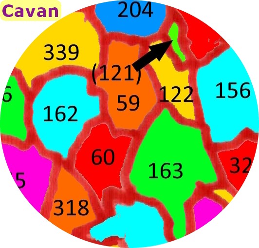
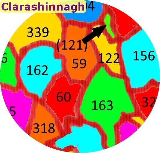
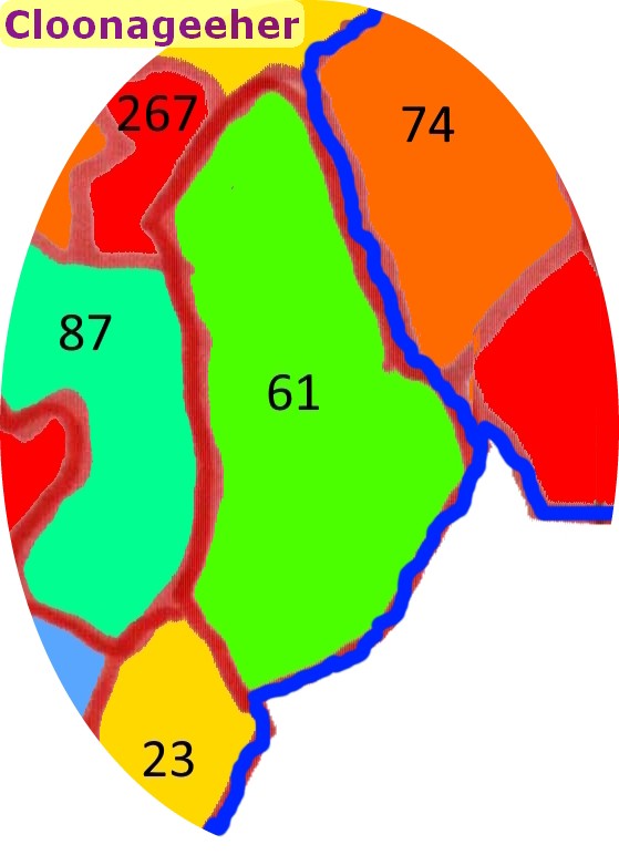
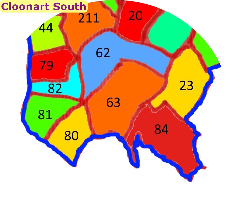
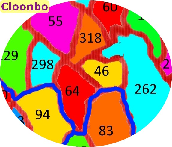
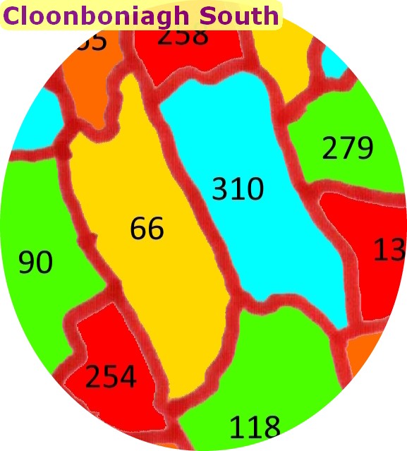
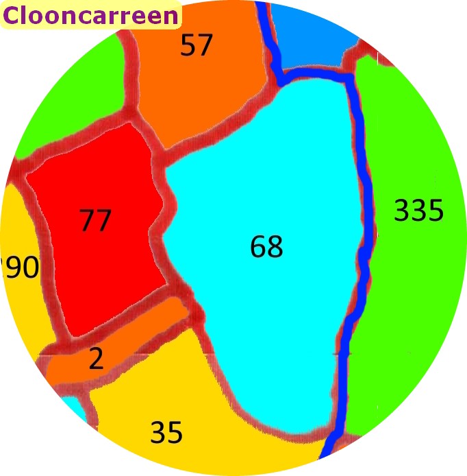
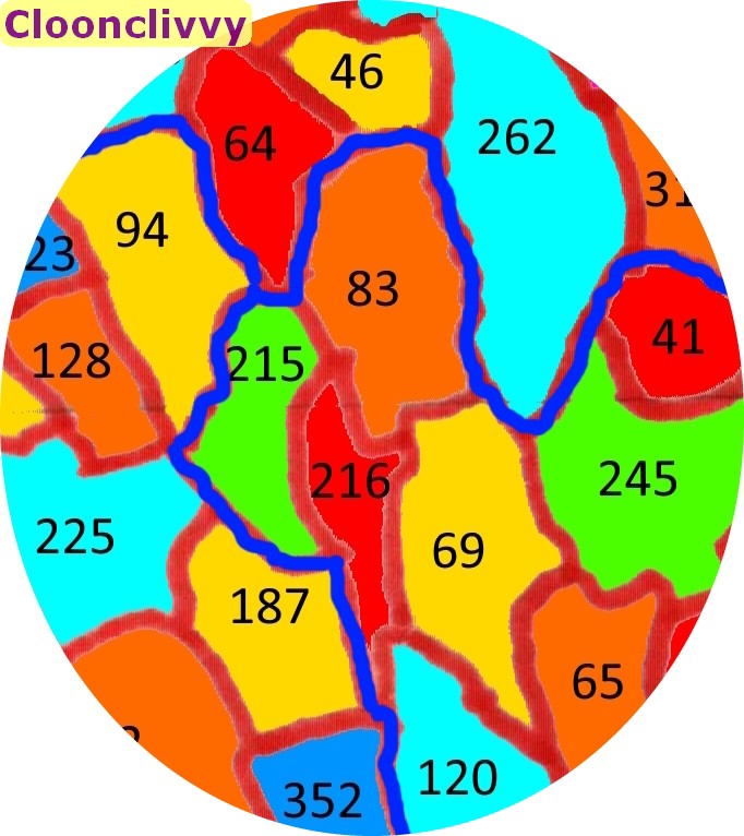
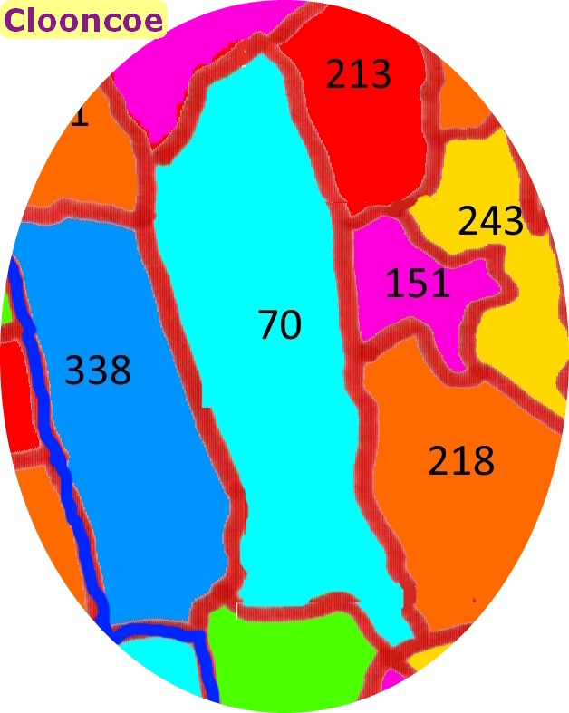
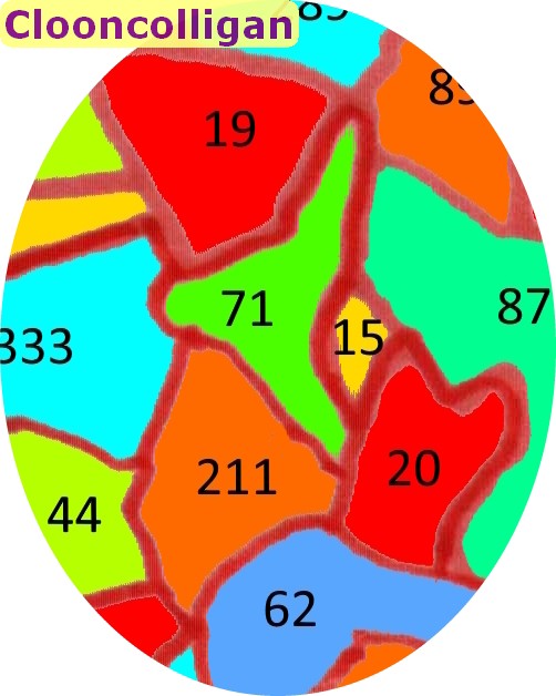
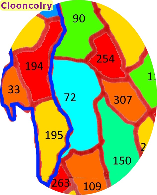
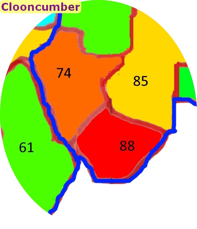
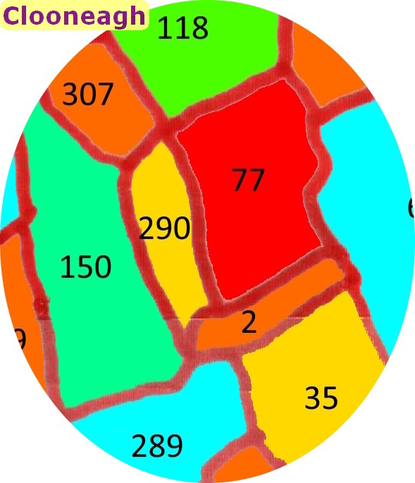
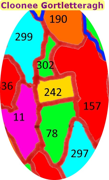
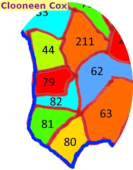
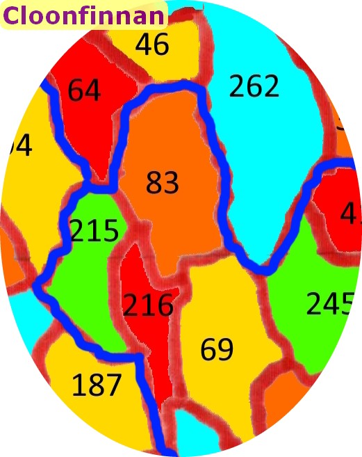
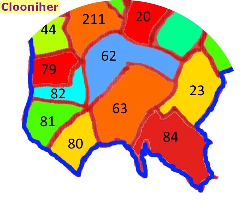
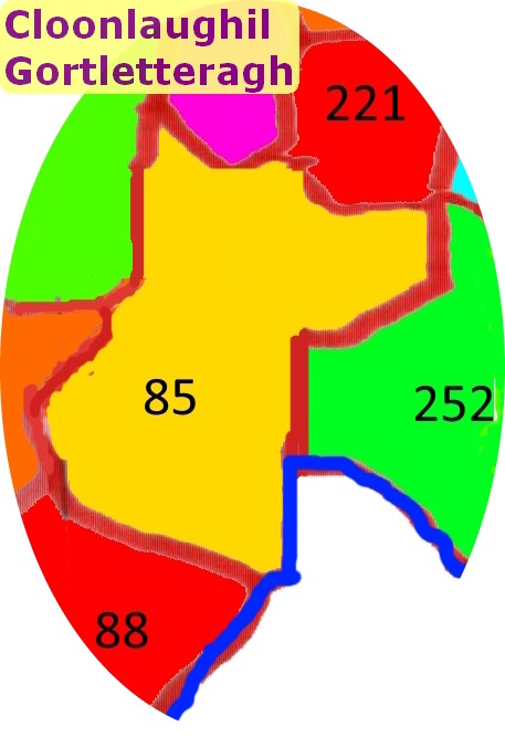
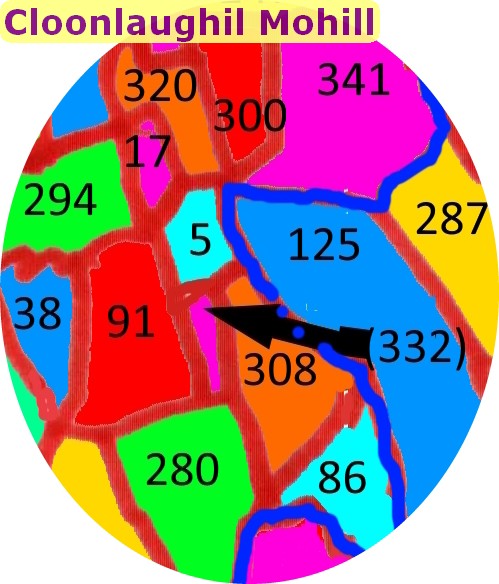
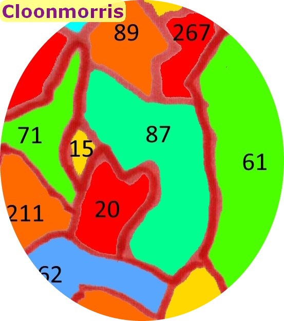
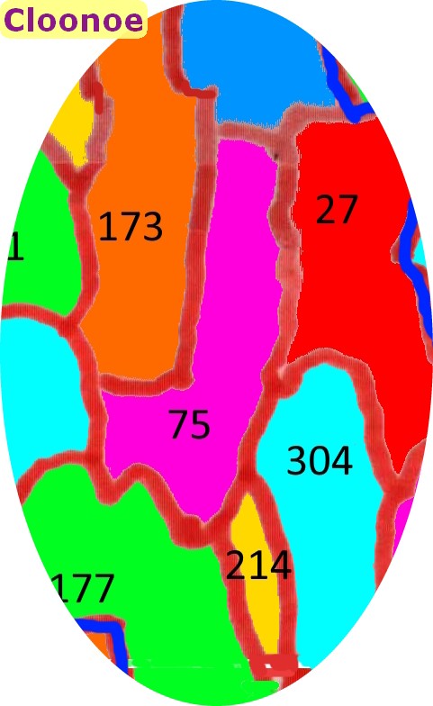
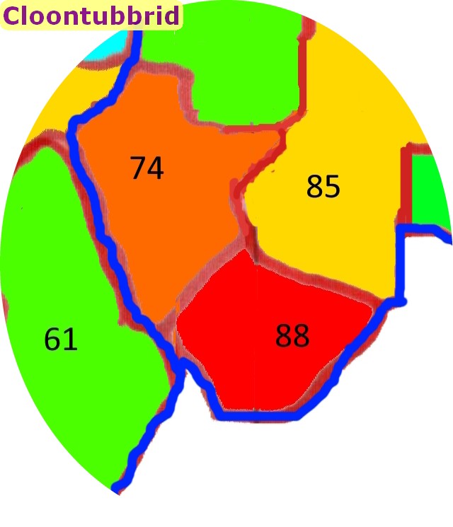
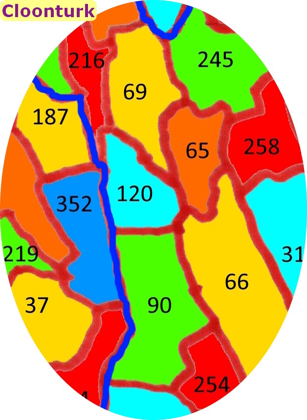
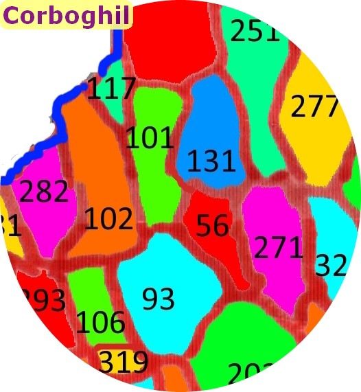
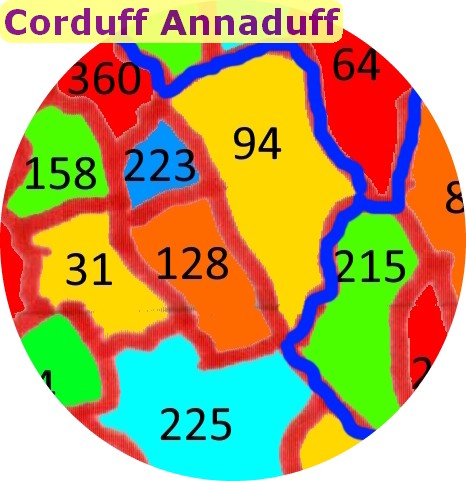
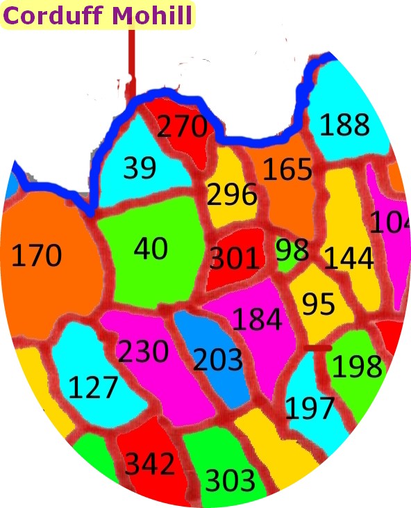
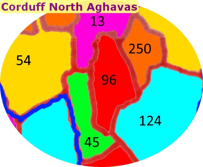
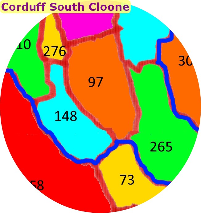
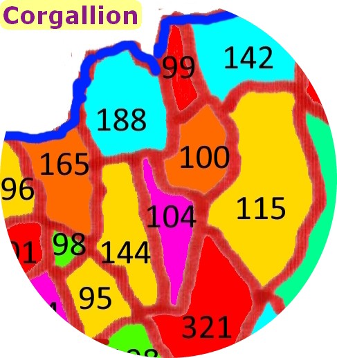
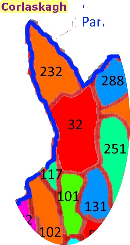
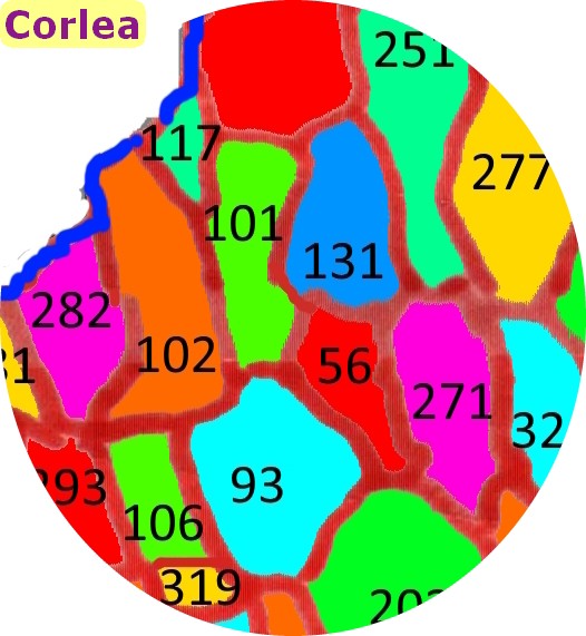
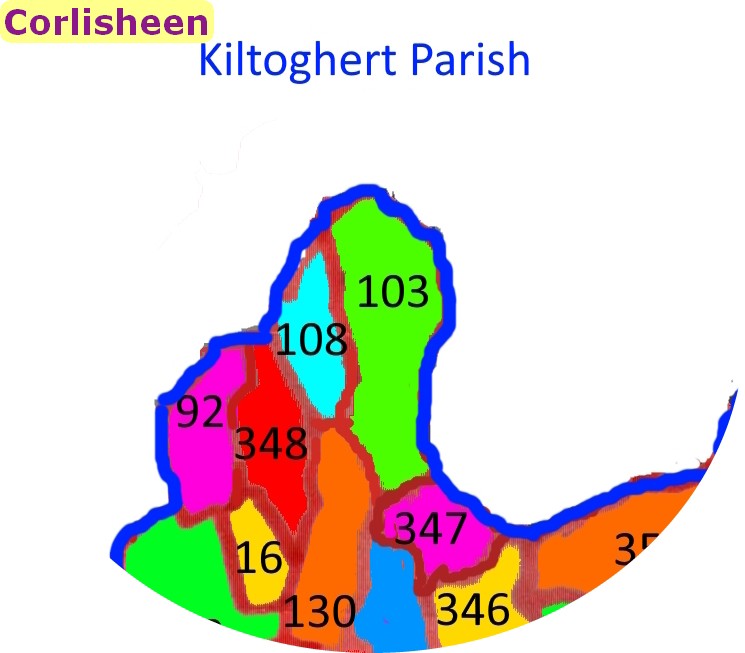
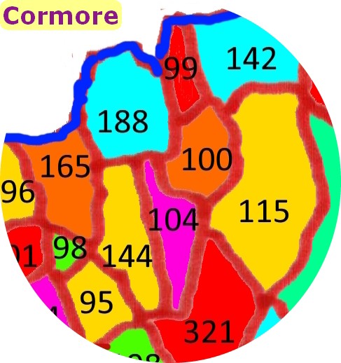
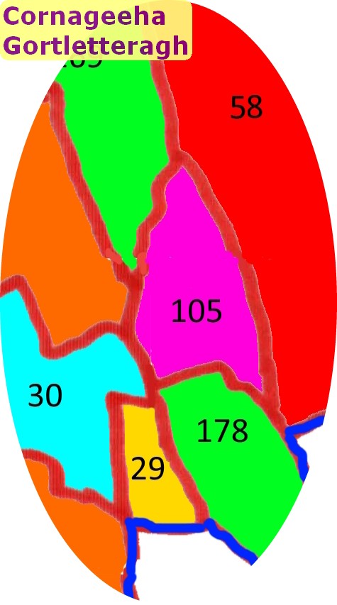
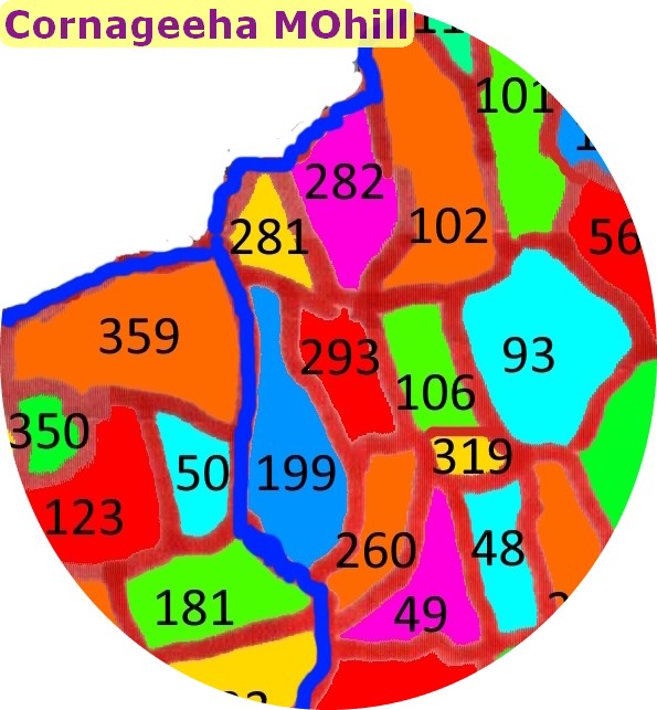
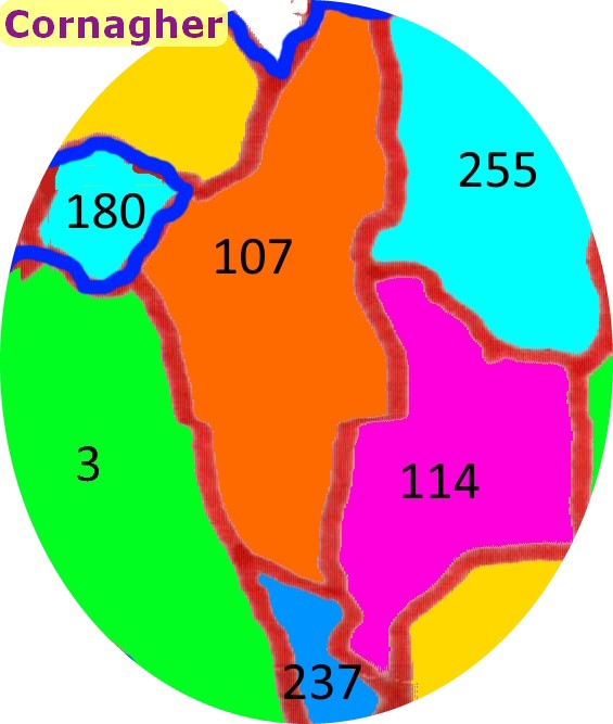
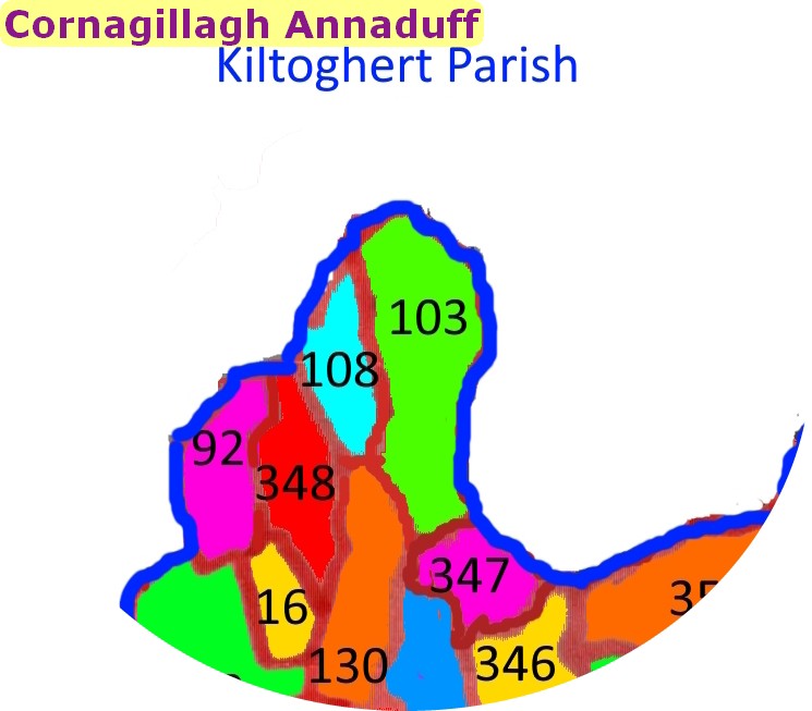
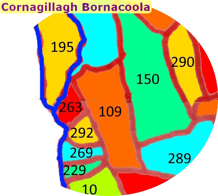
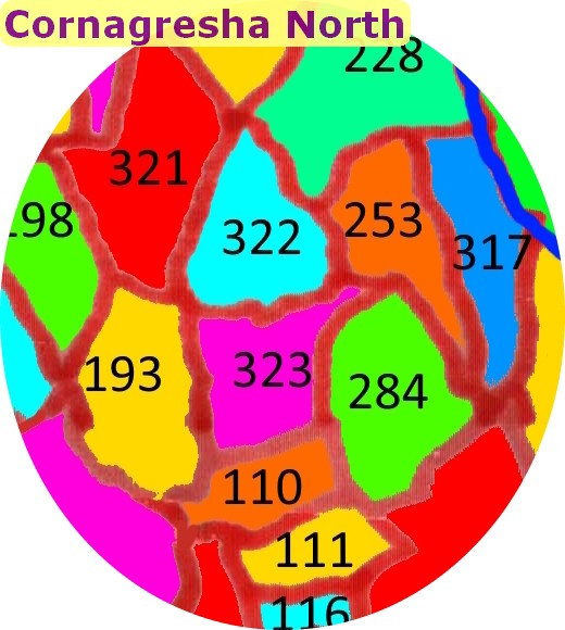
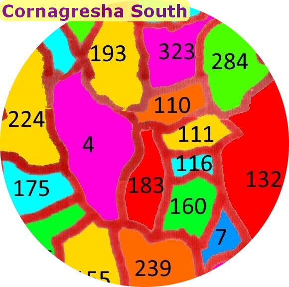
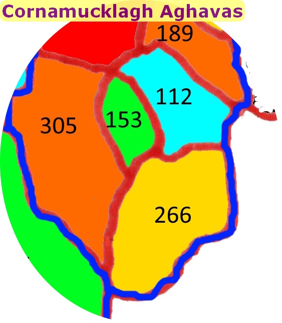
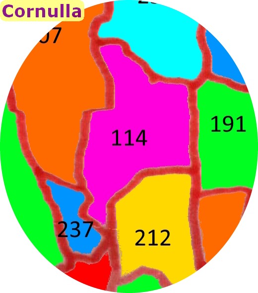
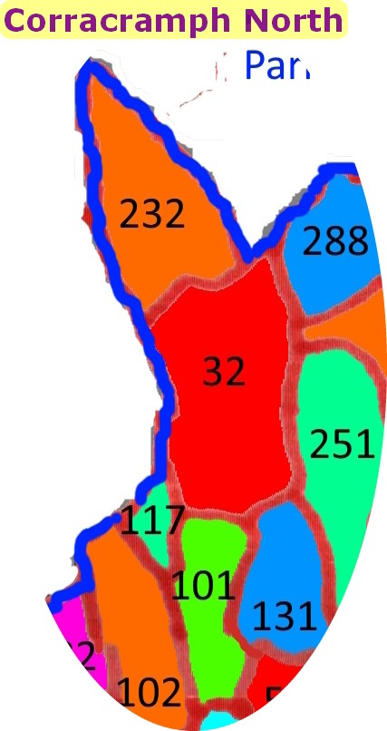
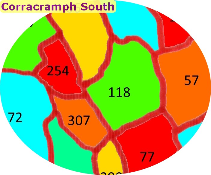
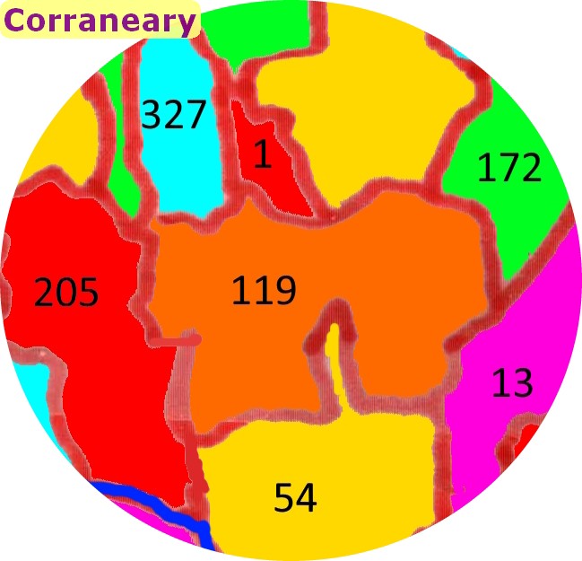
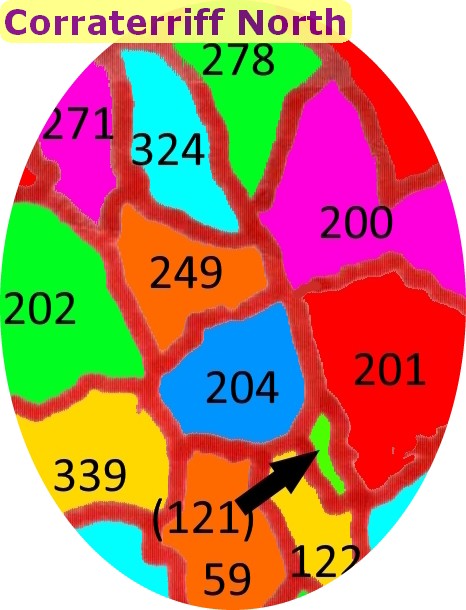
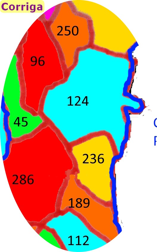
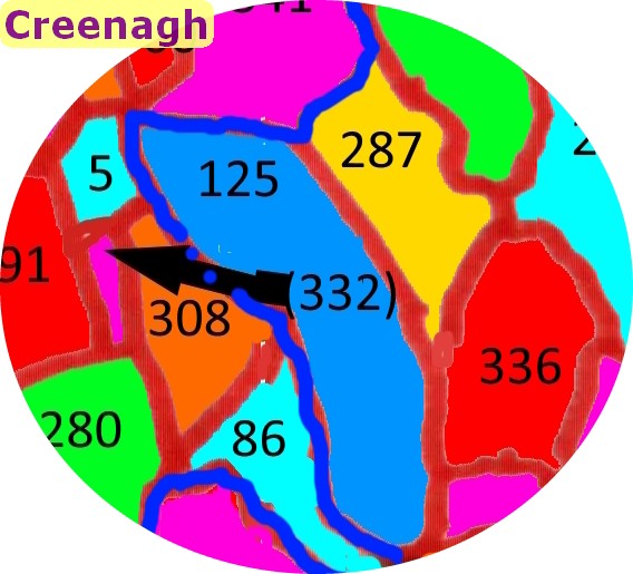
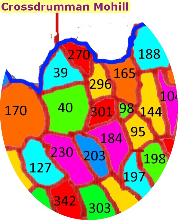
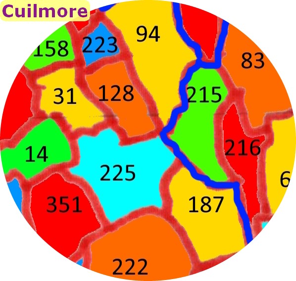
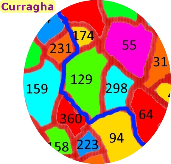
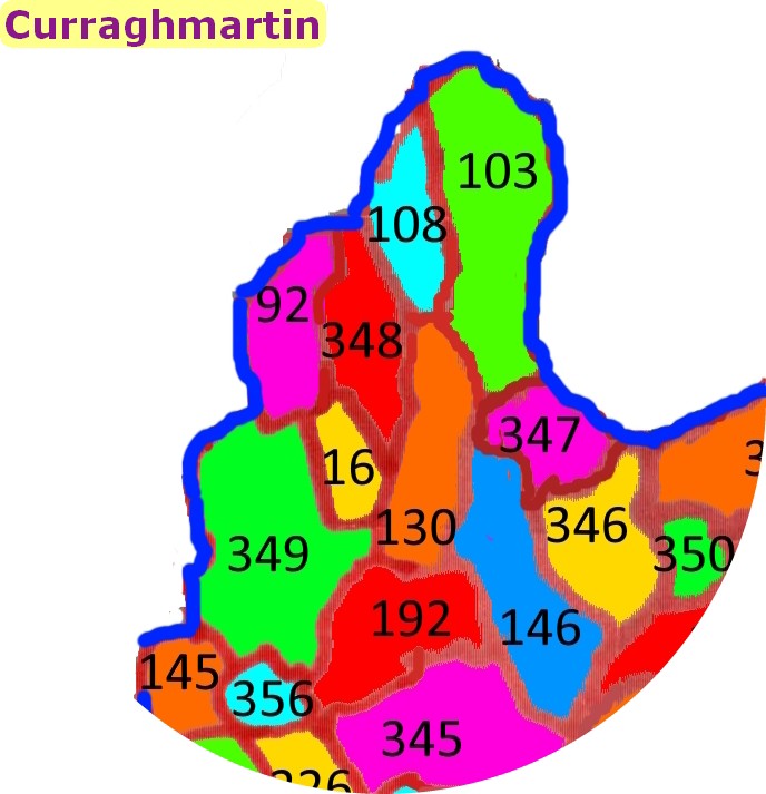
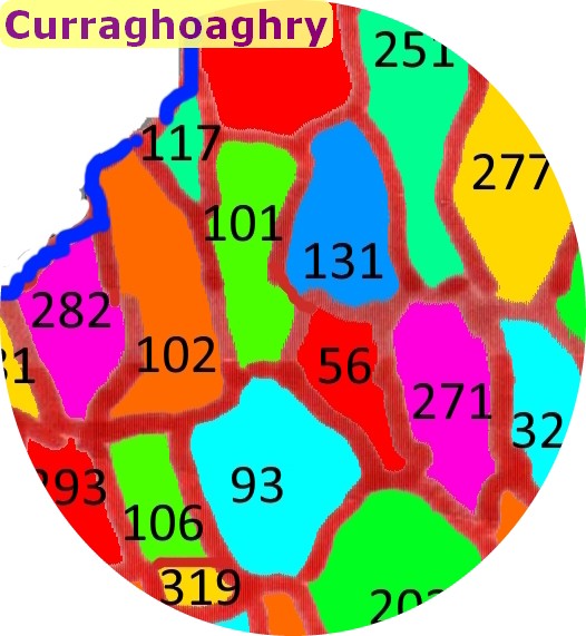
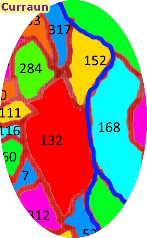
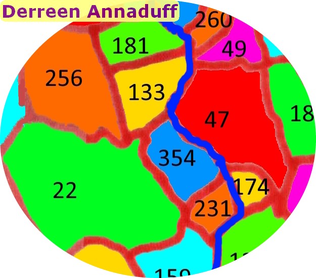
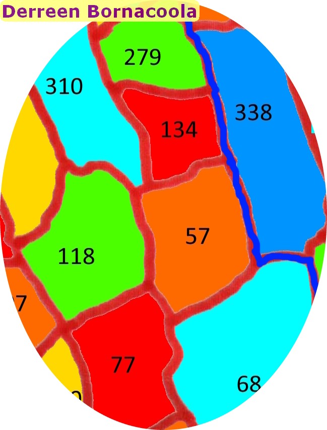
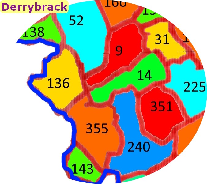
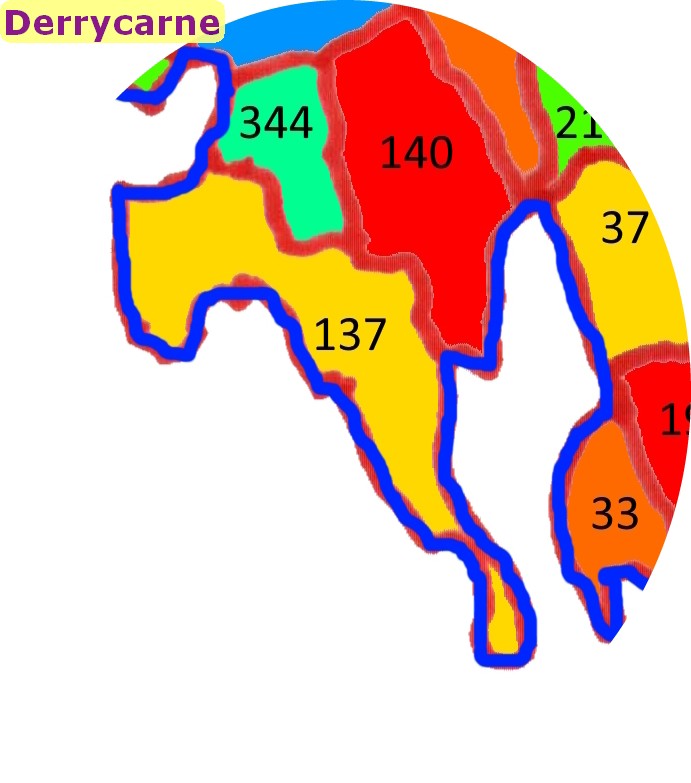
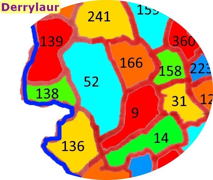
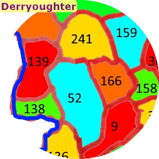
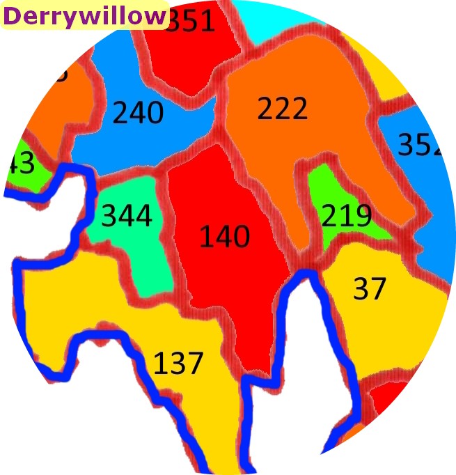
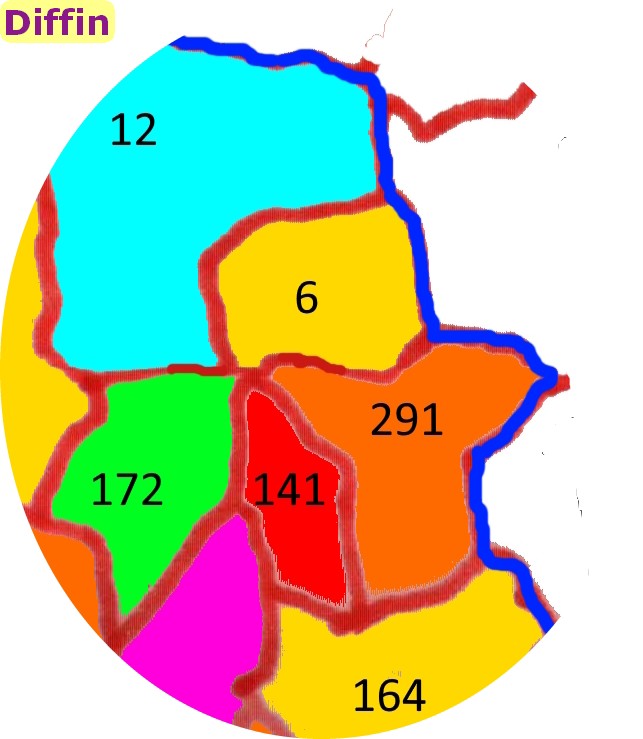
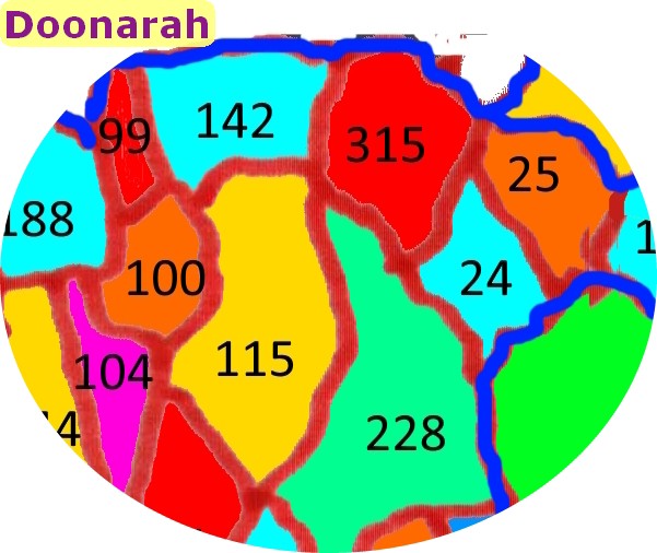
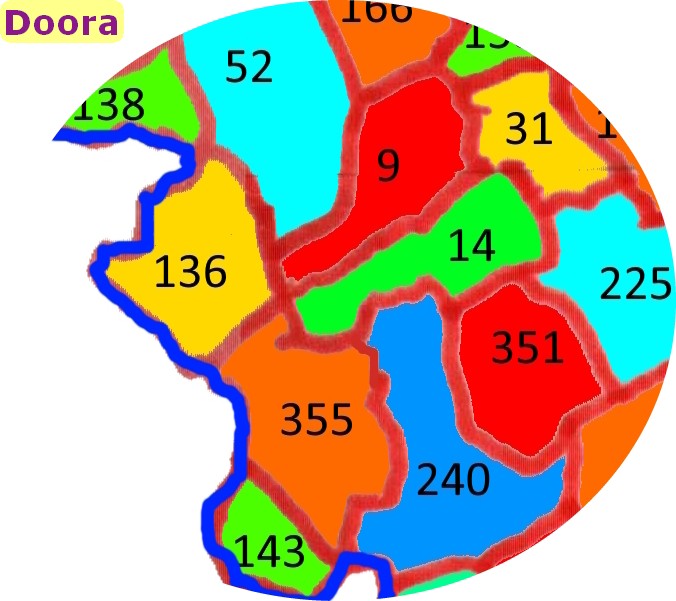
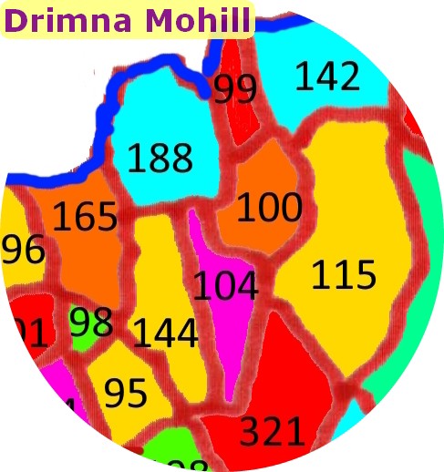
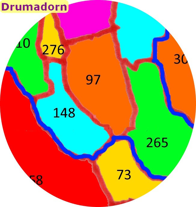
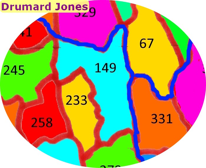
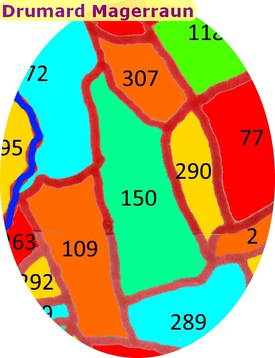
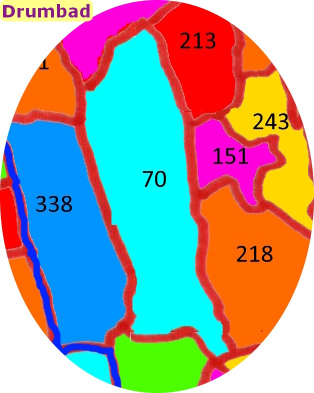
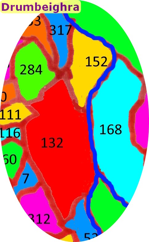
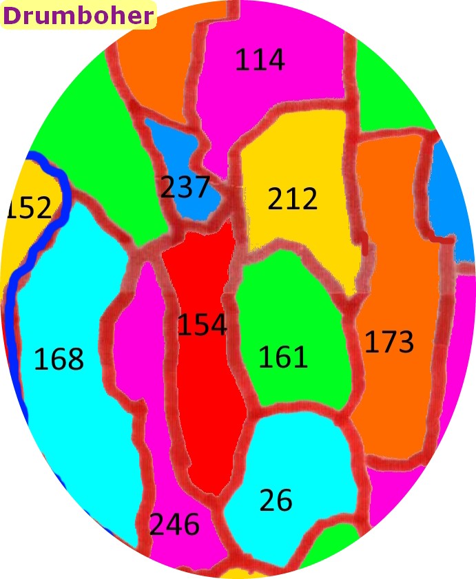
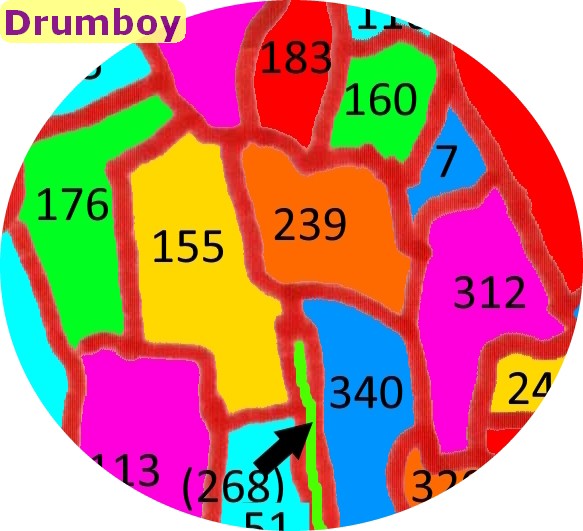
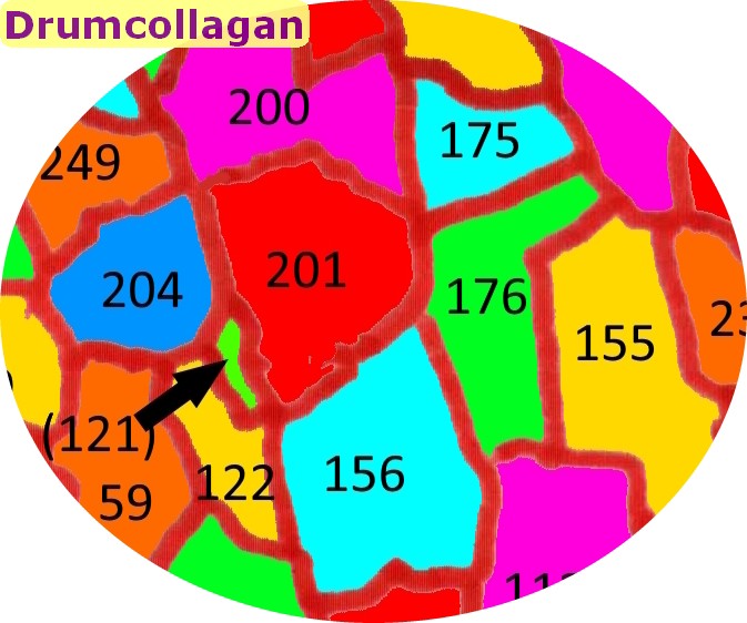
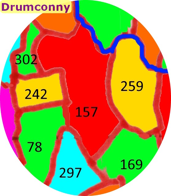
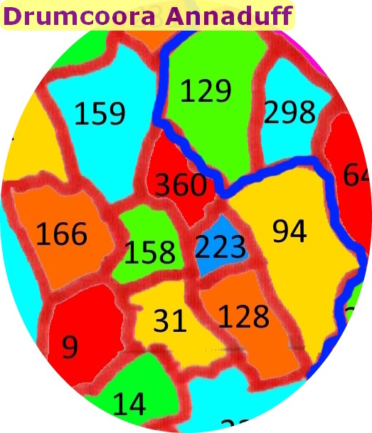
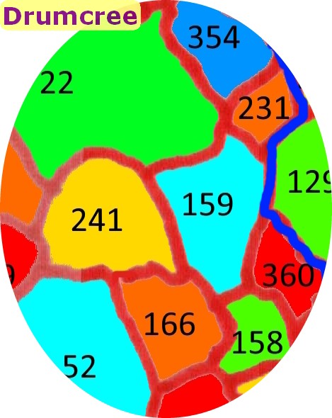
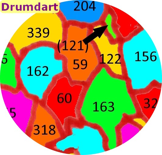
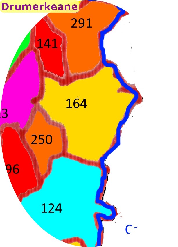
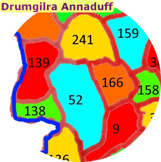
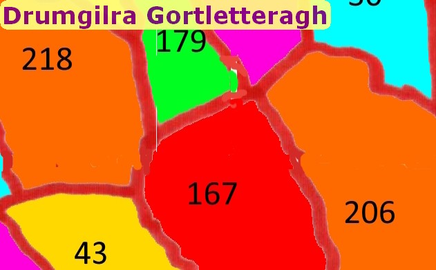
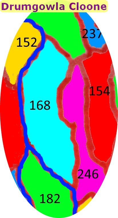
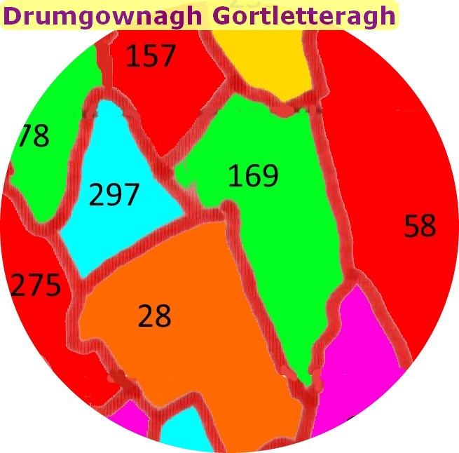
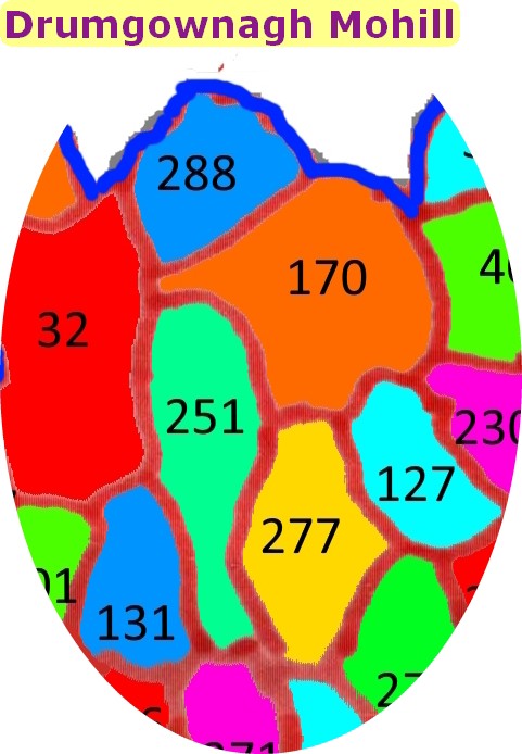
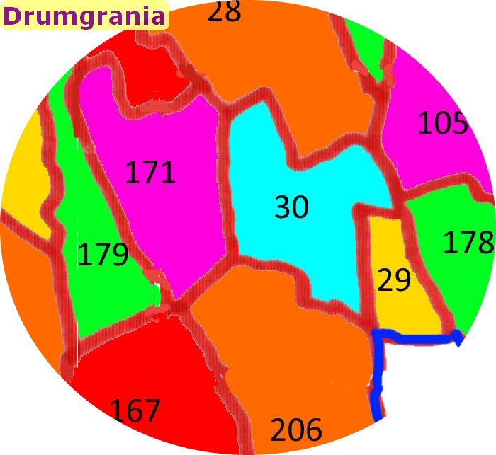
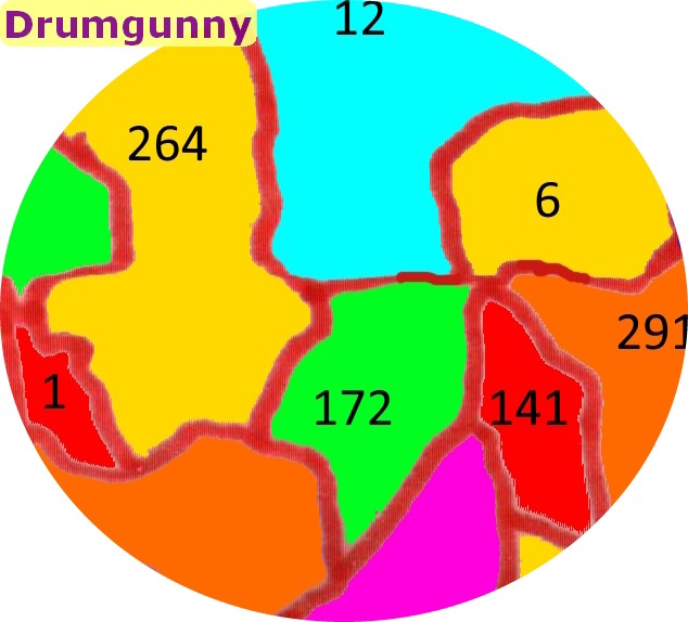
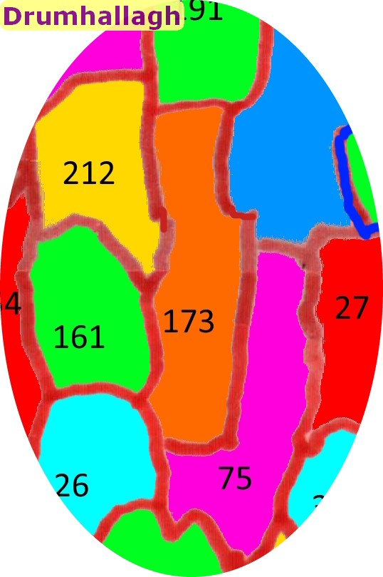
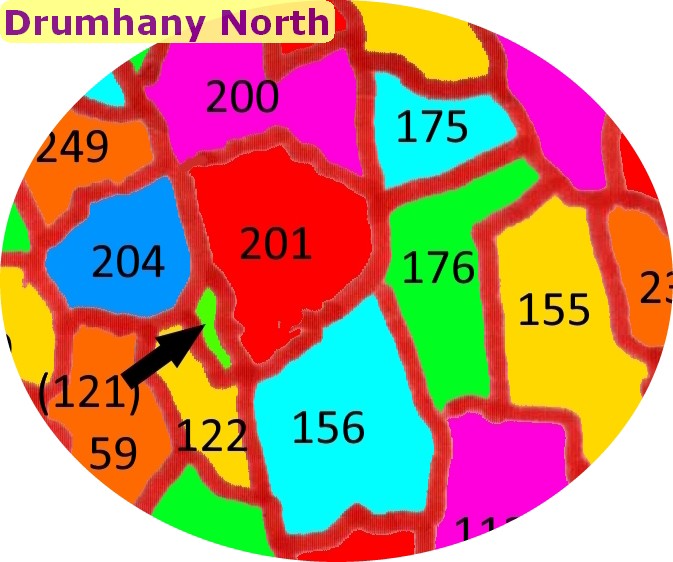
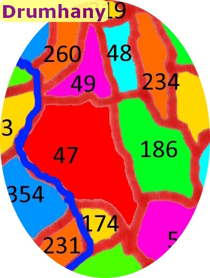
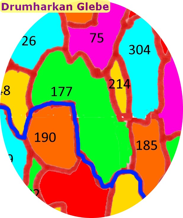
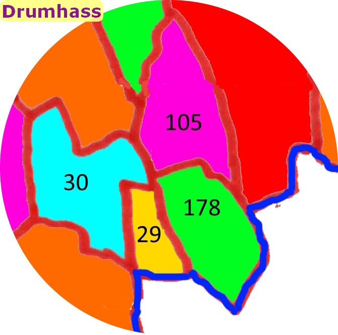
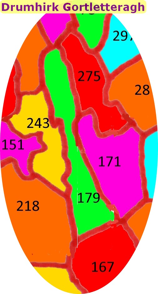
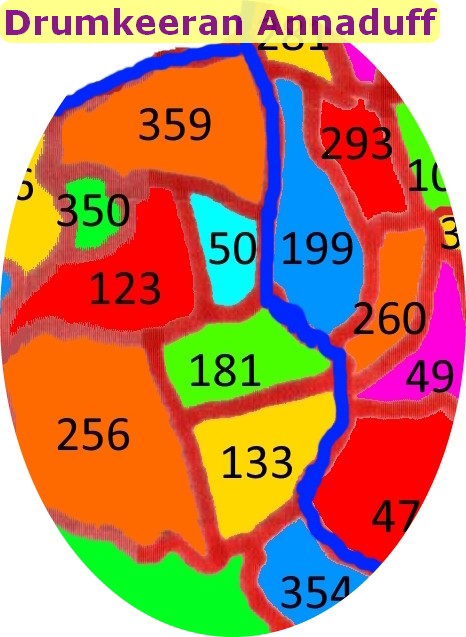
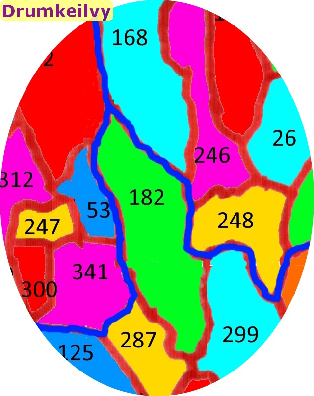
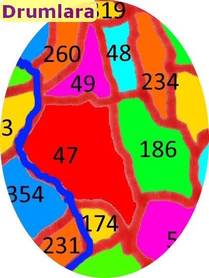
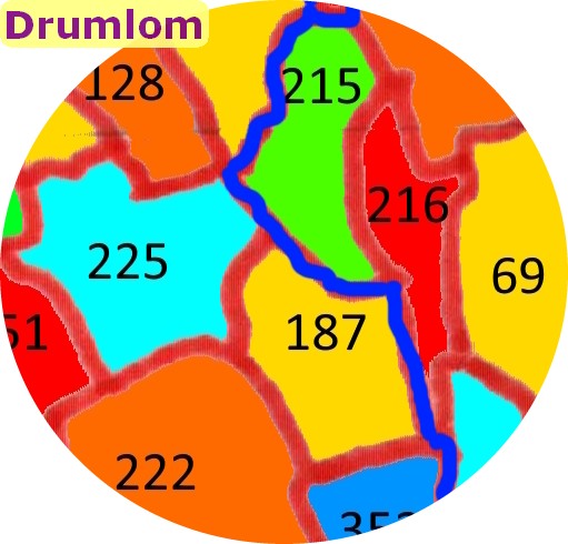
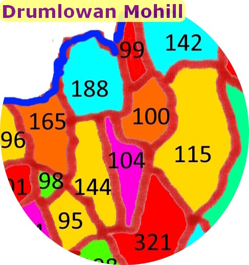
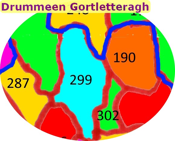
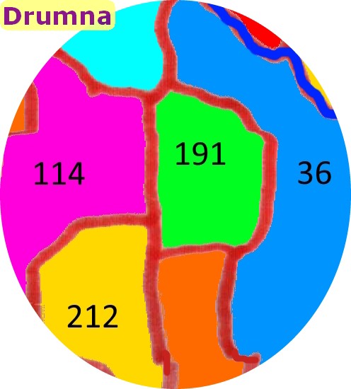
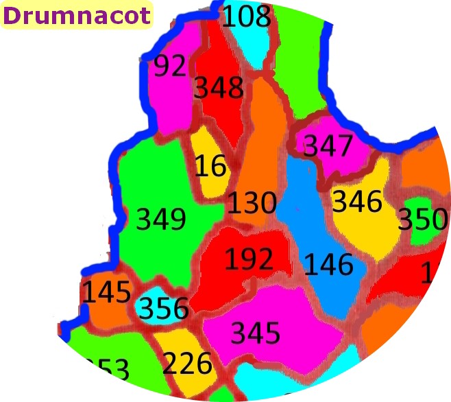
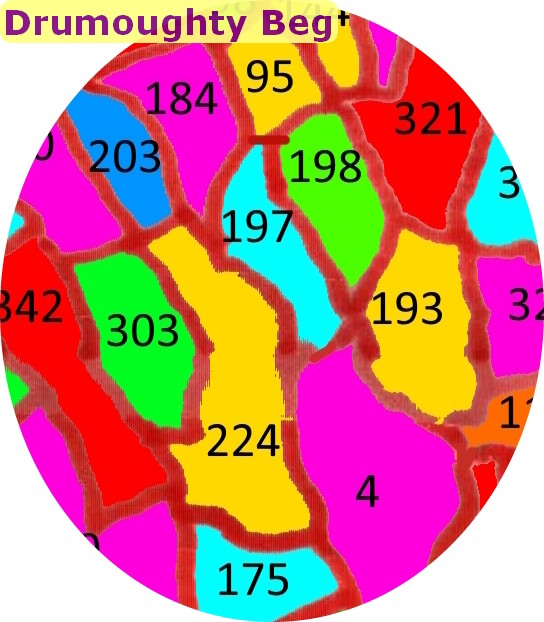
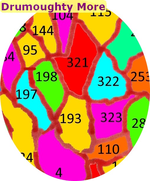
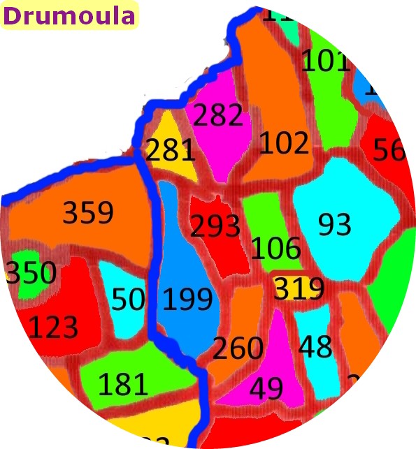
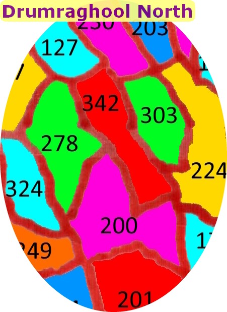
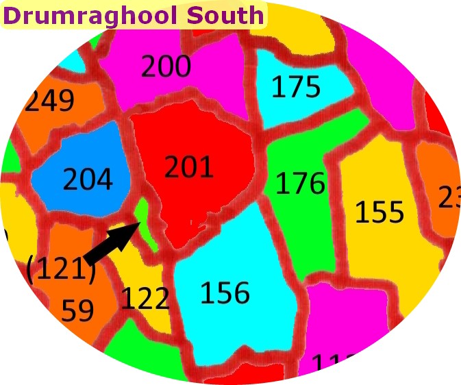
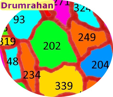
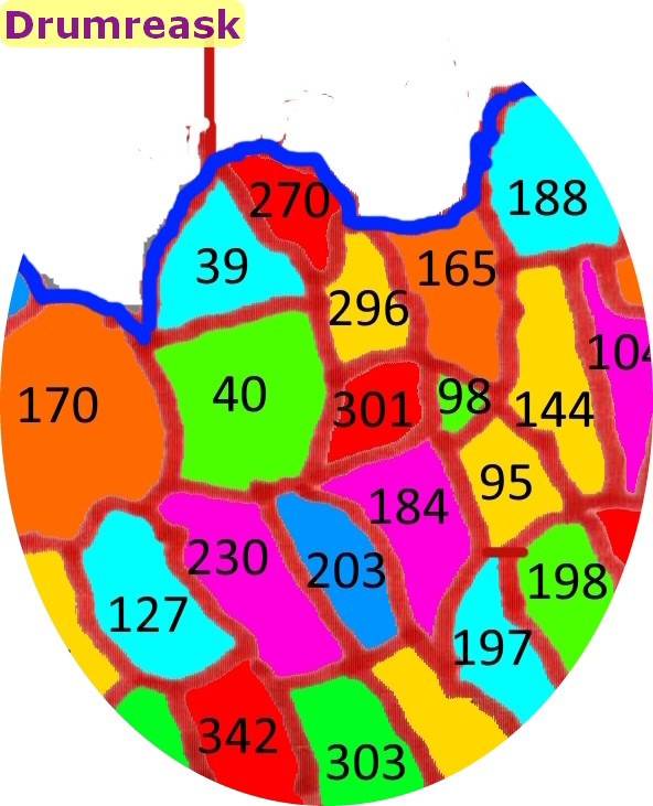
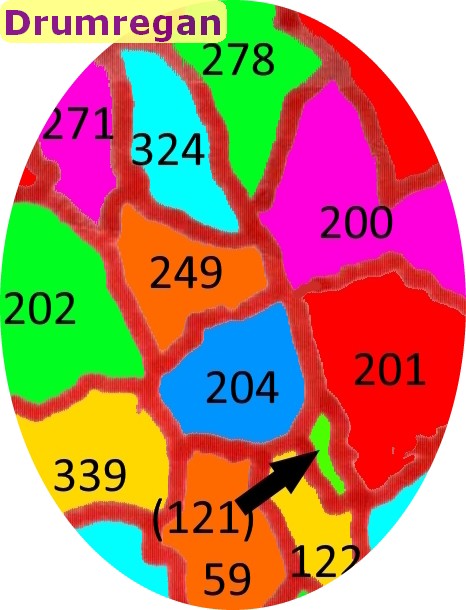
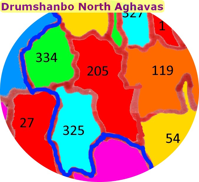
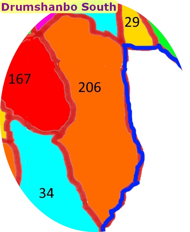
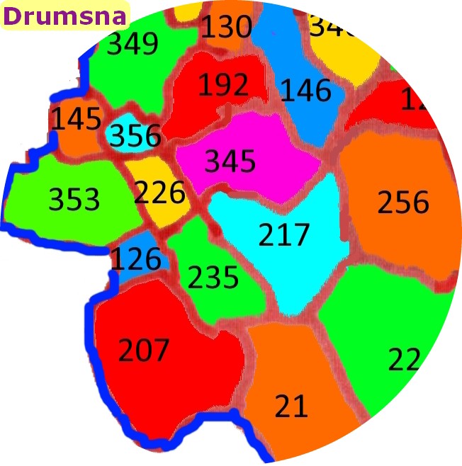
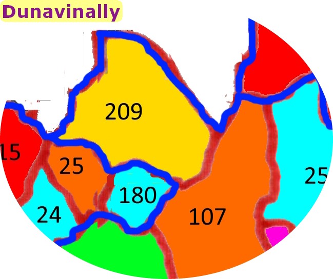
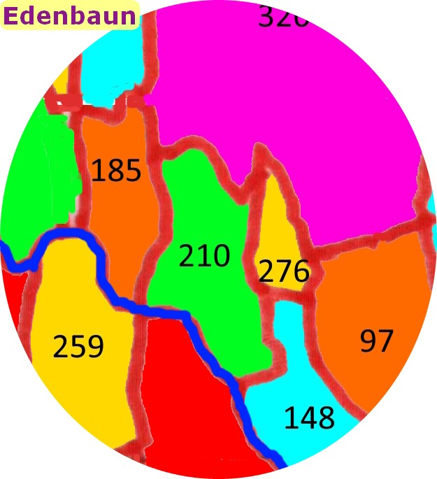
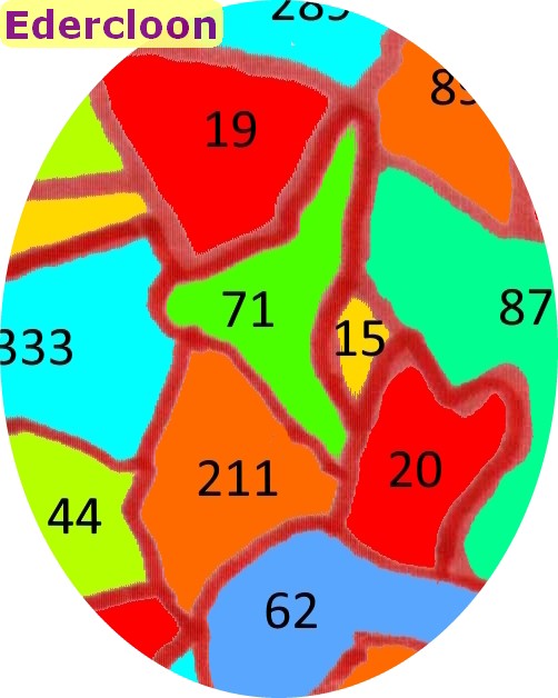
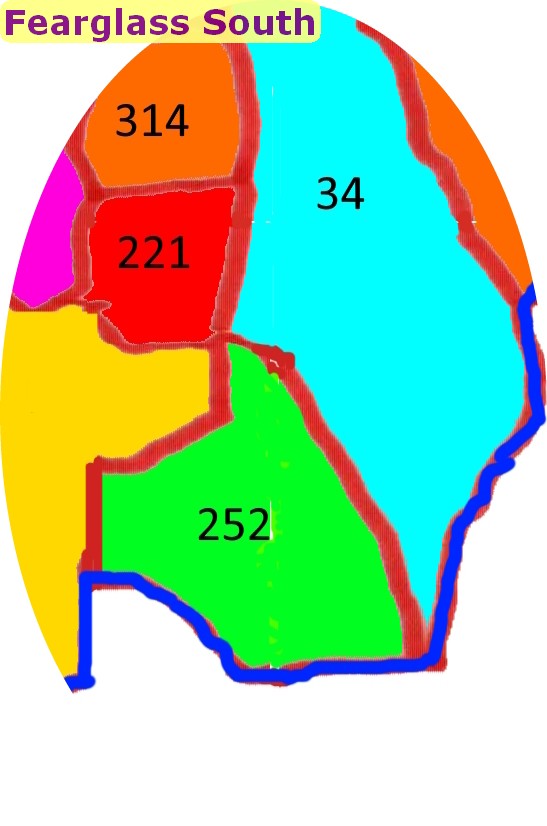
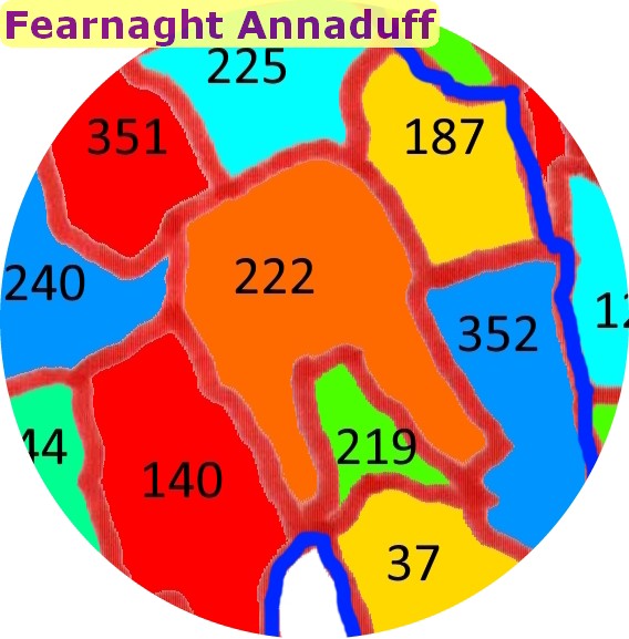
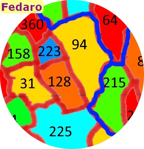
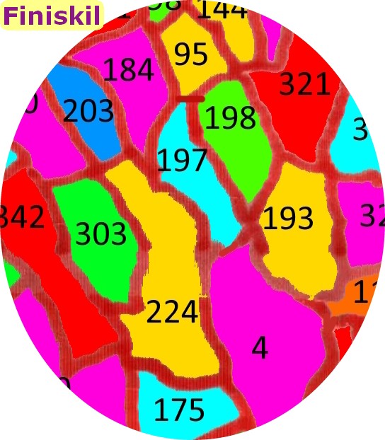
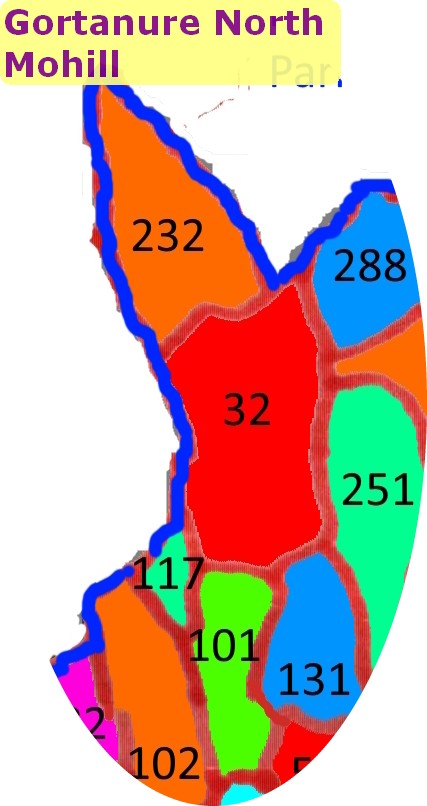
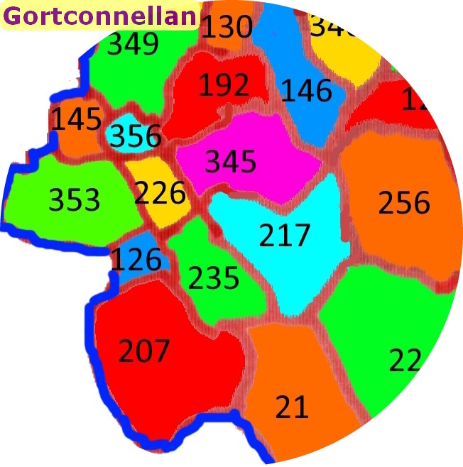
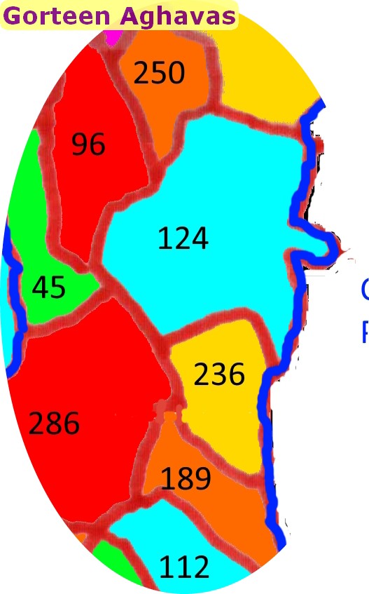
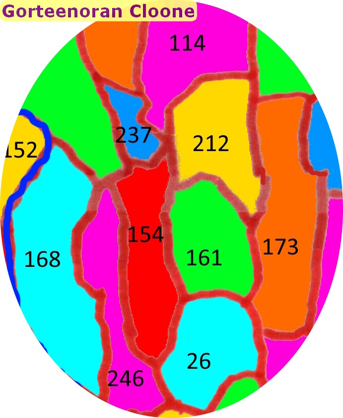
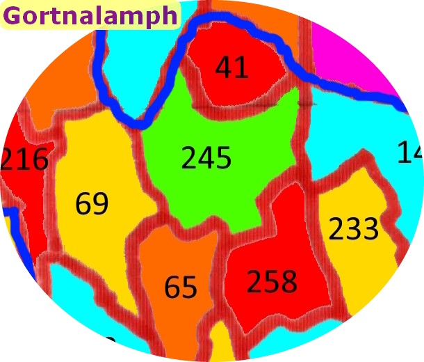
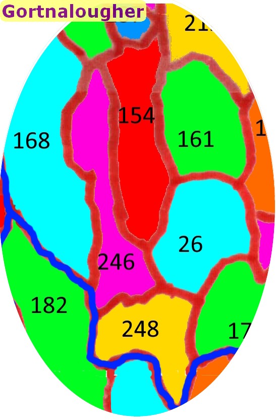
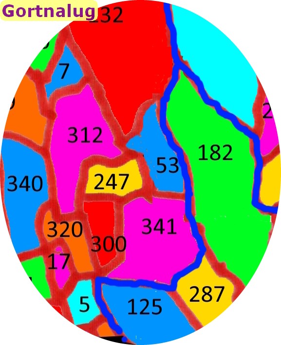
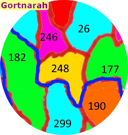
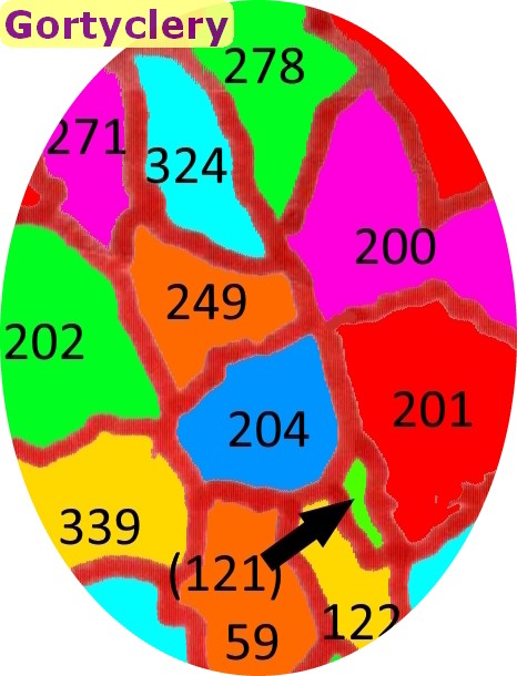
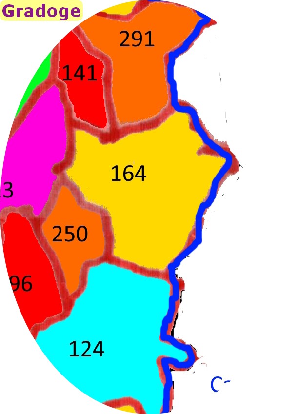
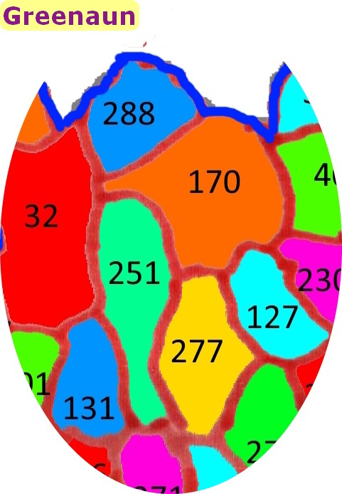
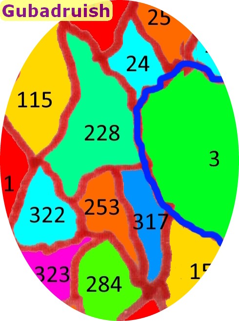
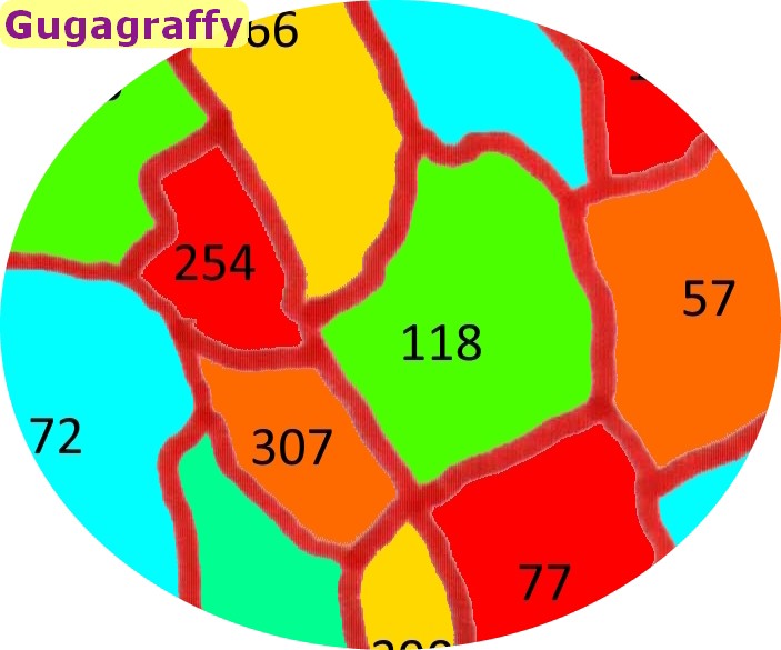
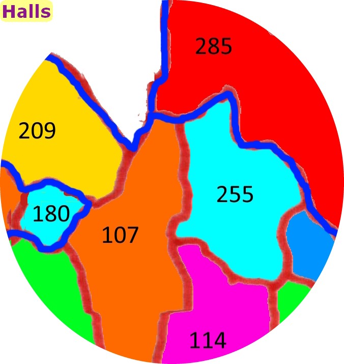
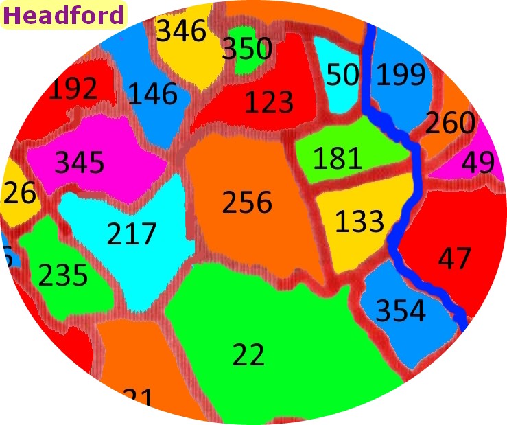
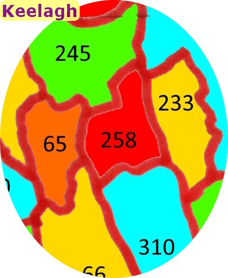
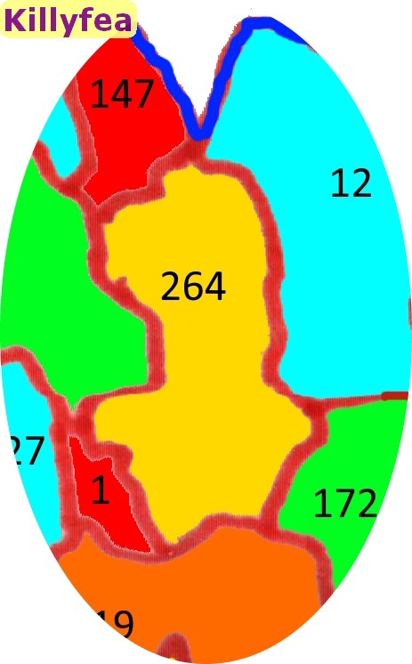
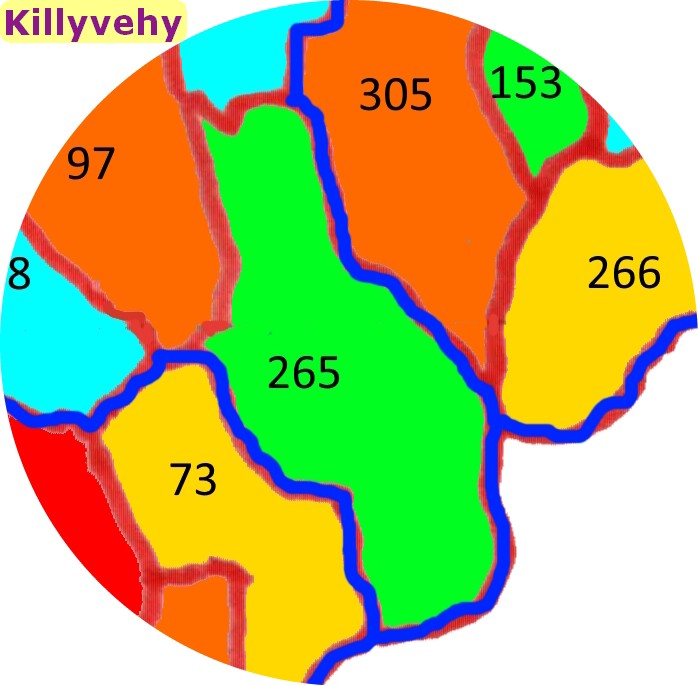
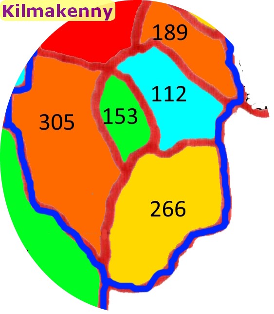
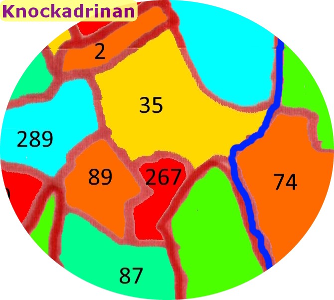
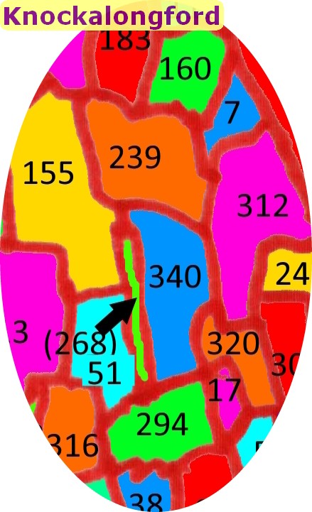
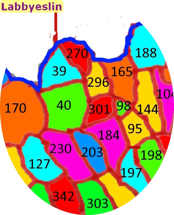
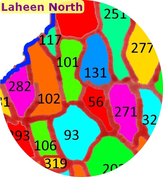
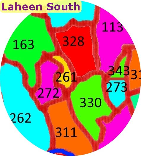
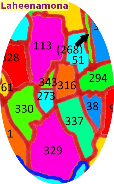
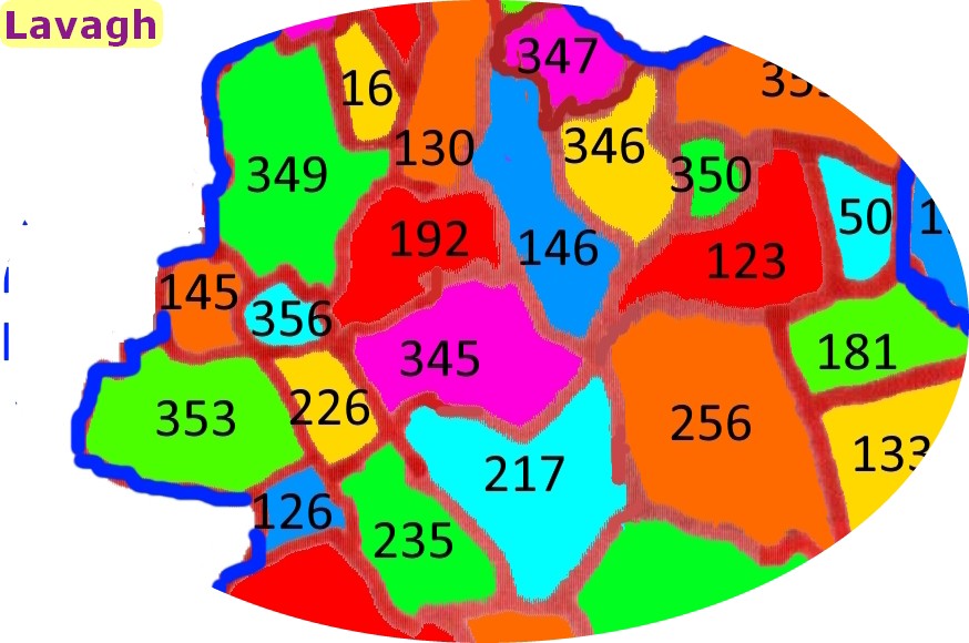
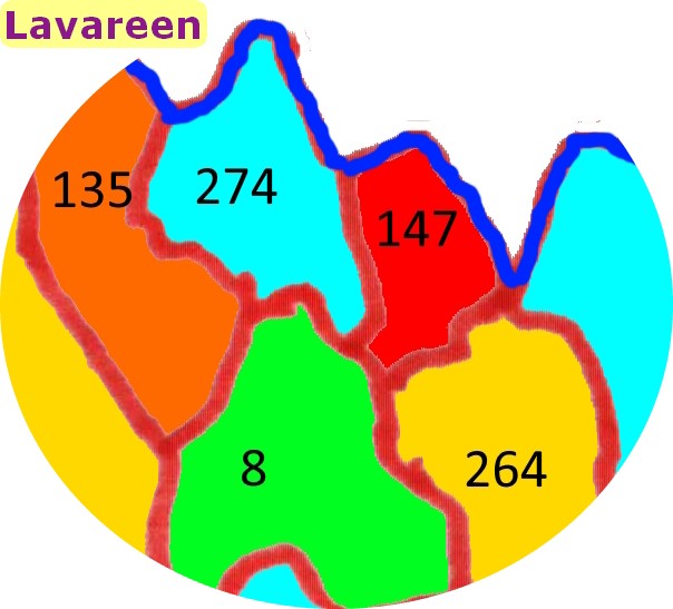
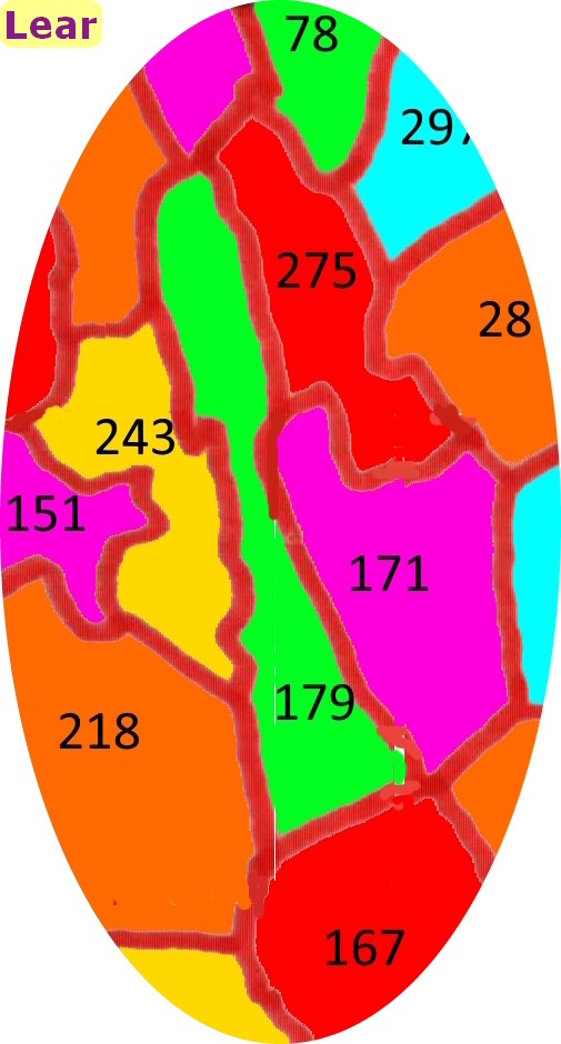
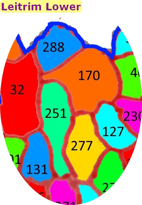
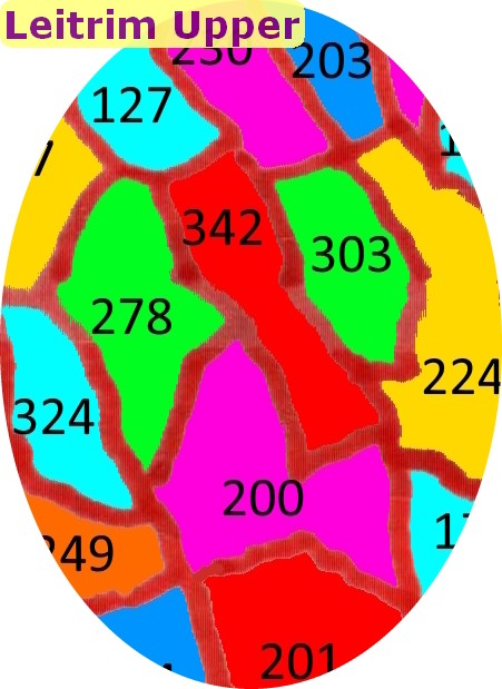
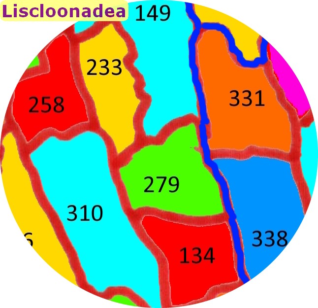
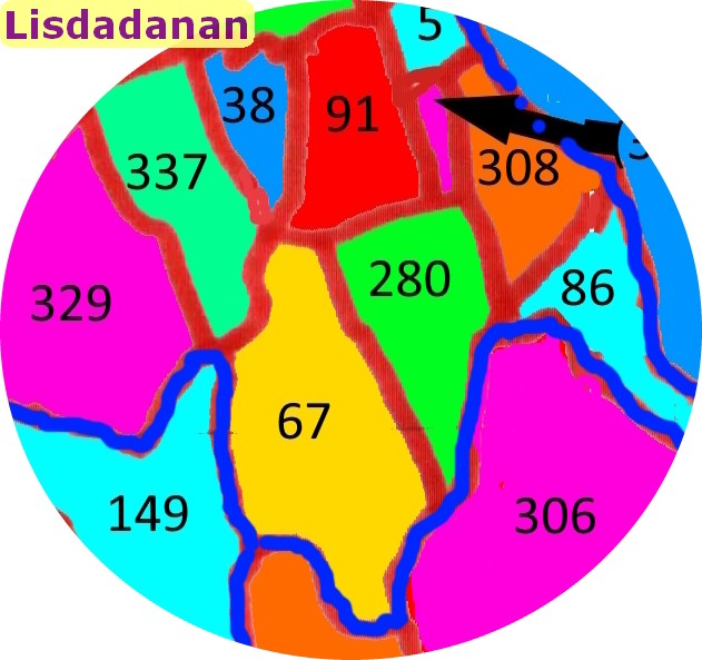
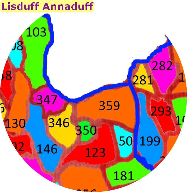
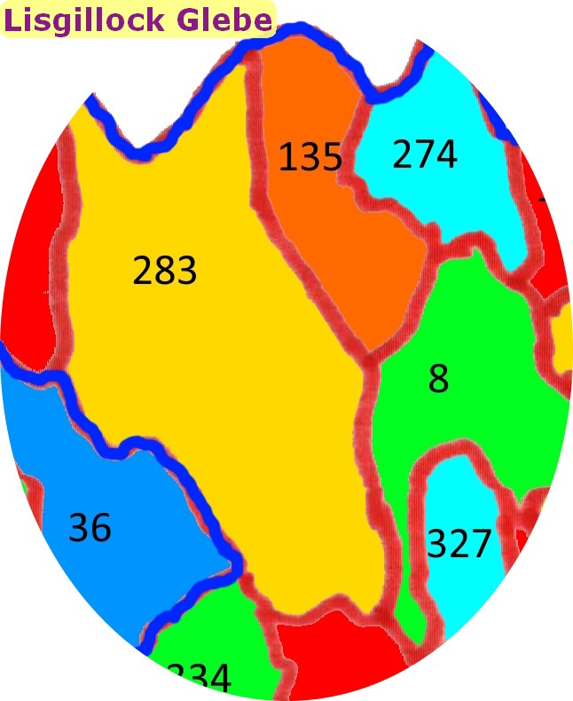
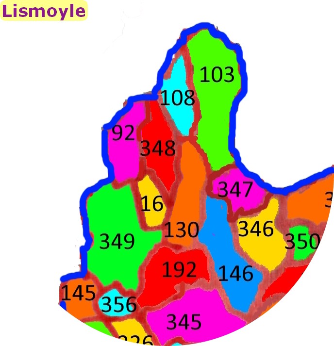
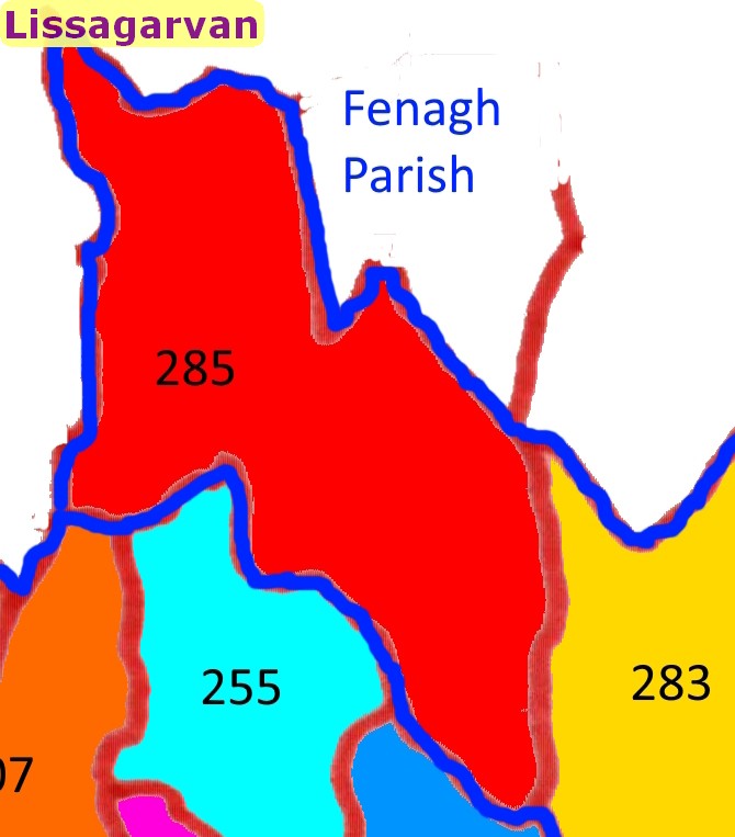
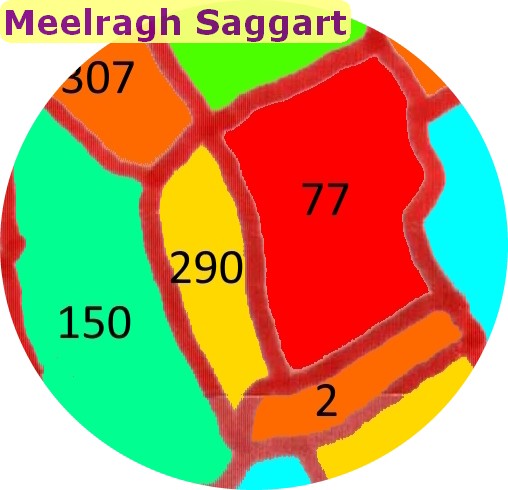
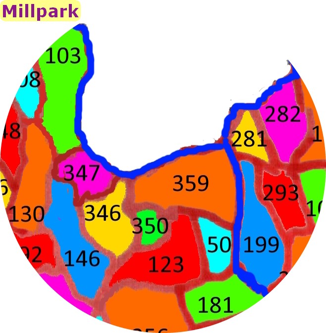
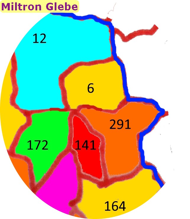
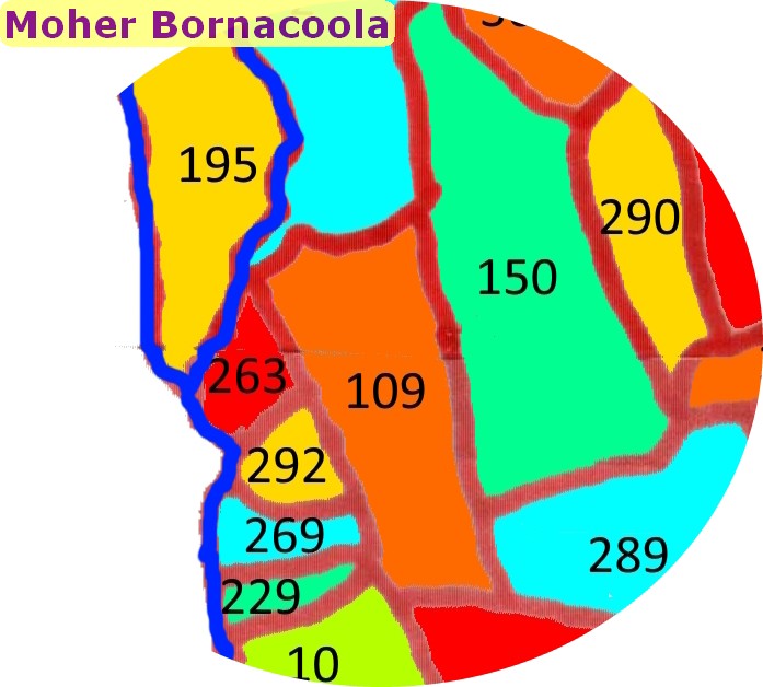
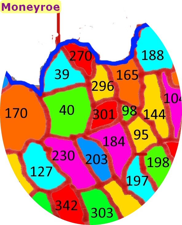
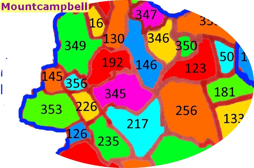
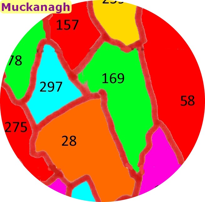
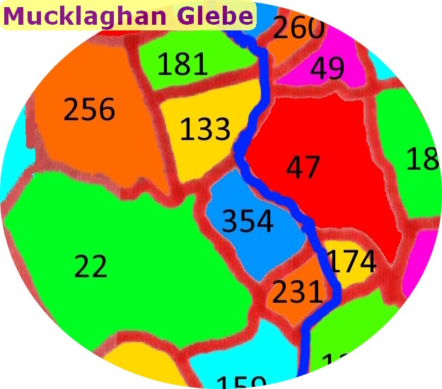
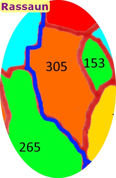
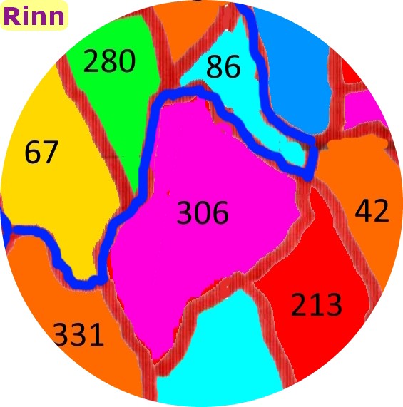
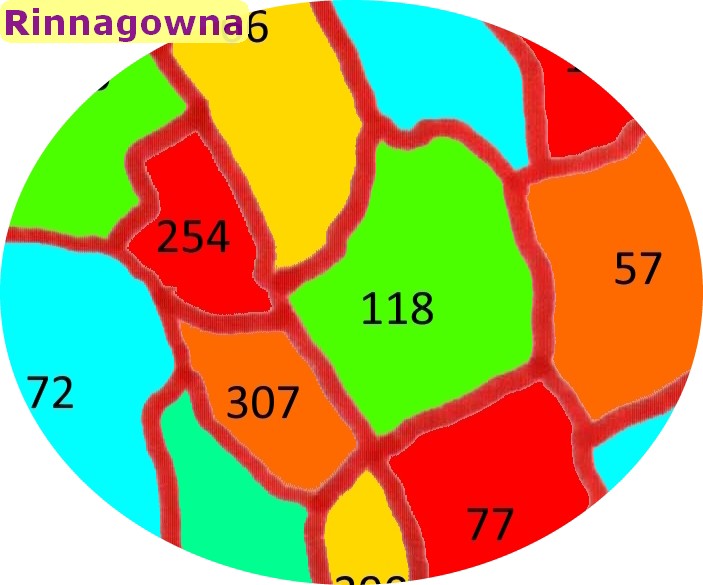
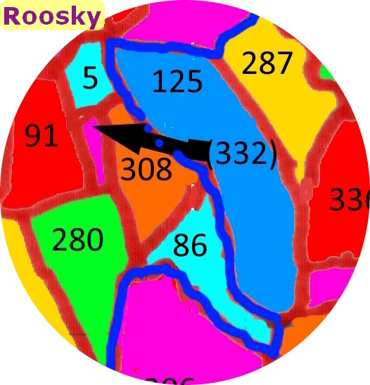
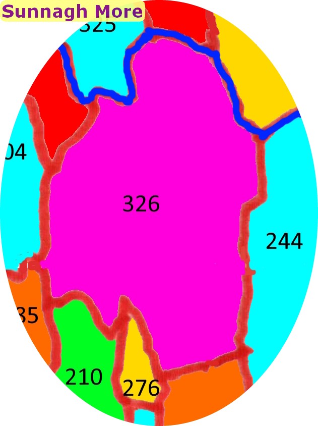
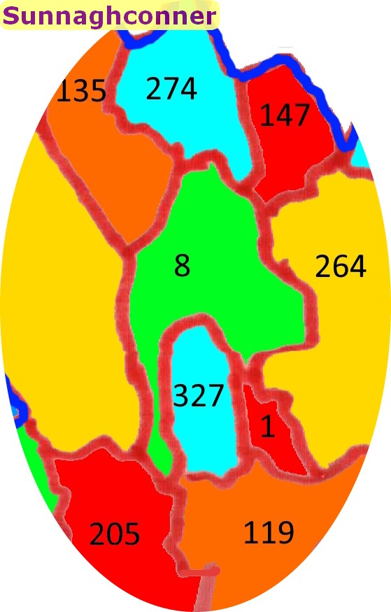
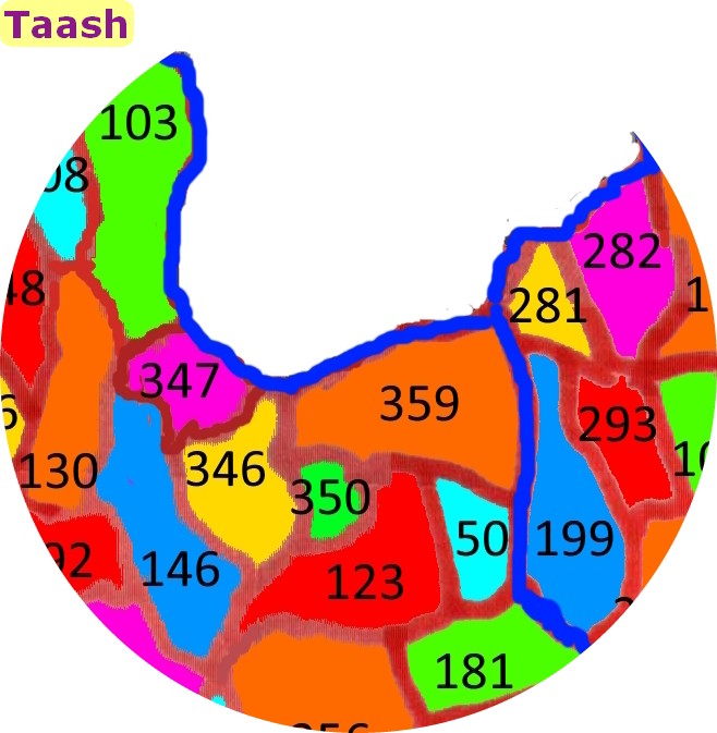
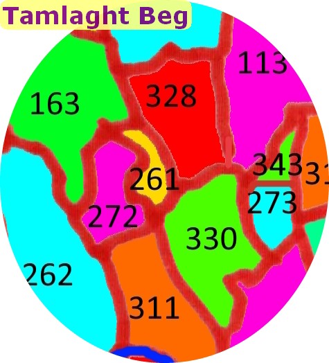
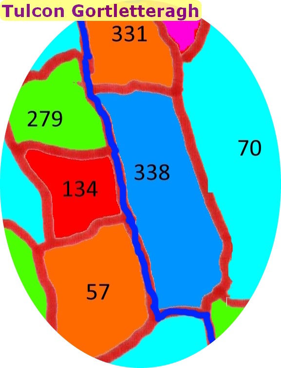
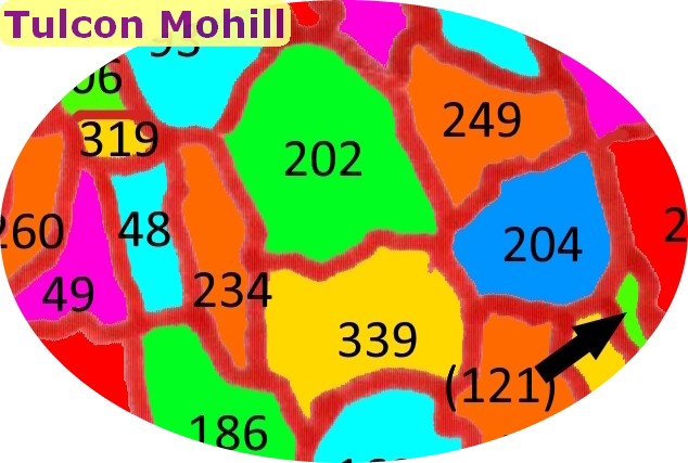
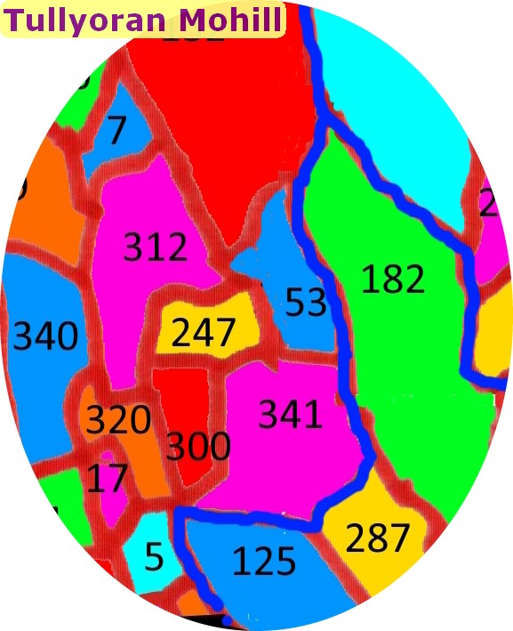
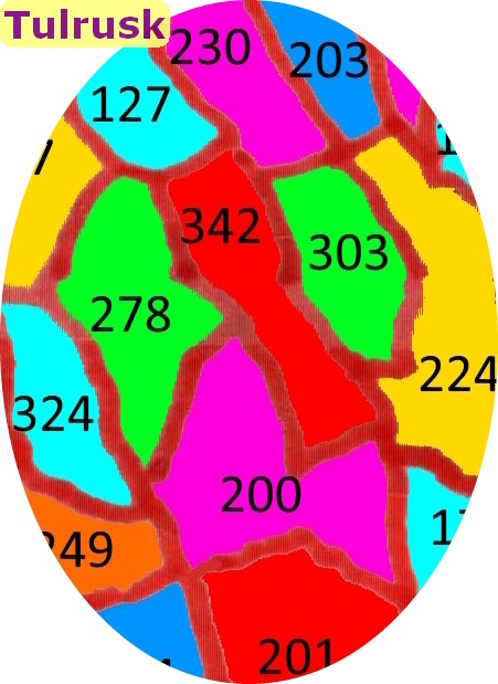
Townland Maps
Before selecting the link below to view the maps note the following:
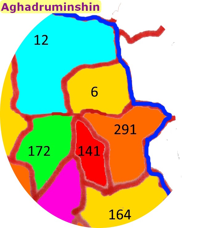
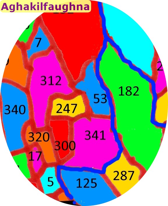
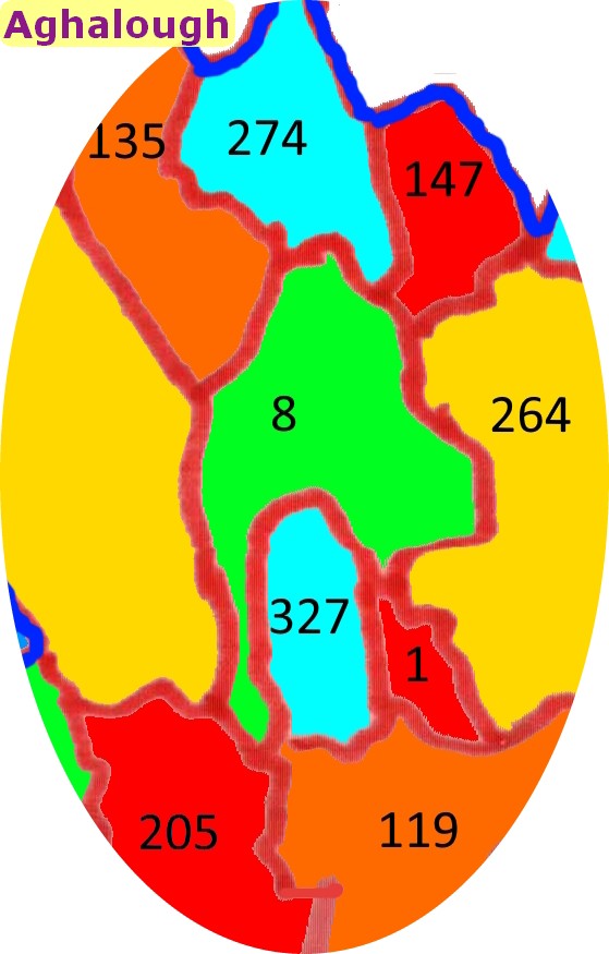
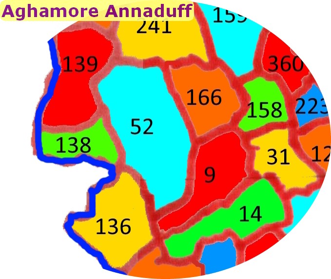
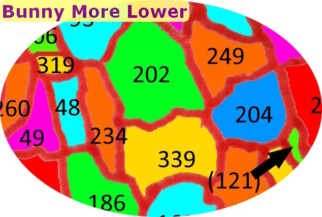
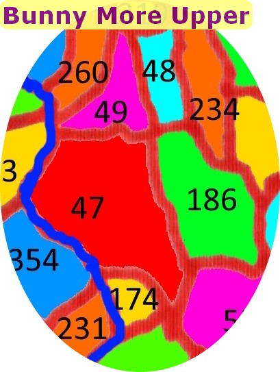
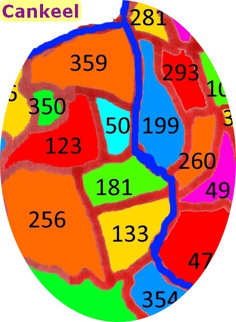
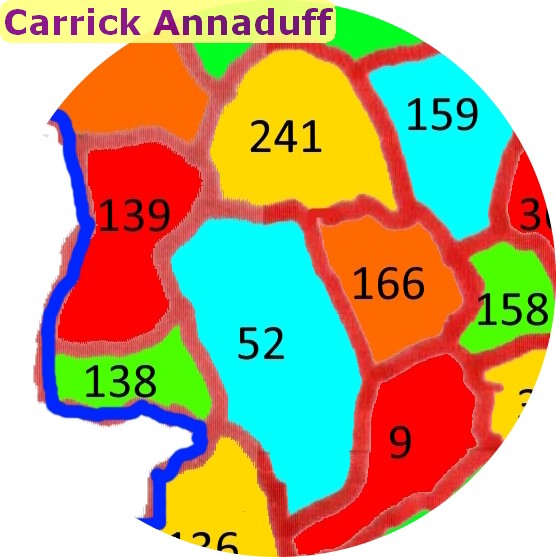
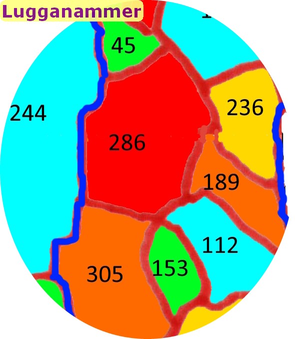
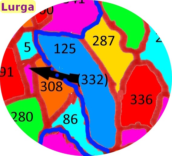
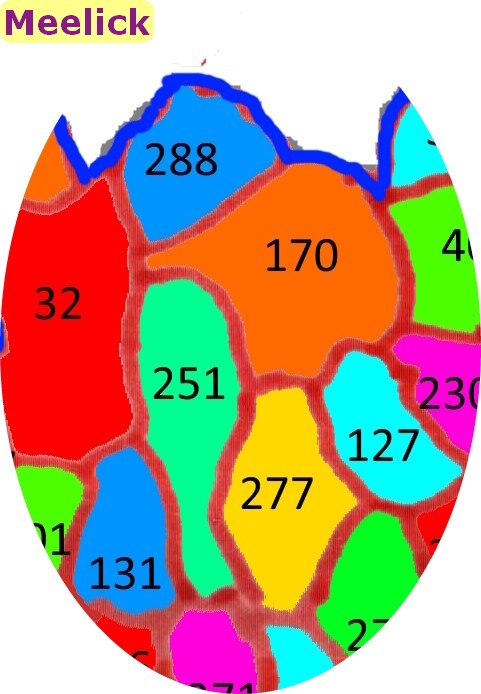
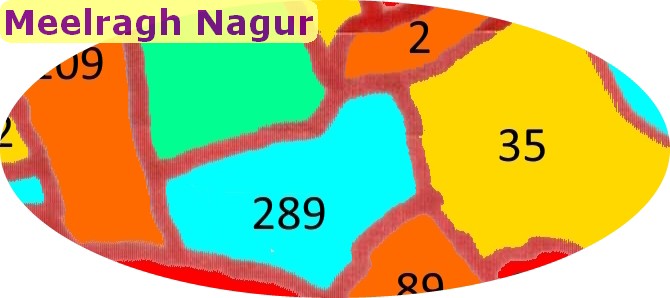
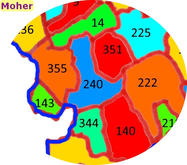
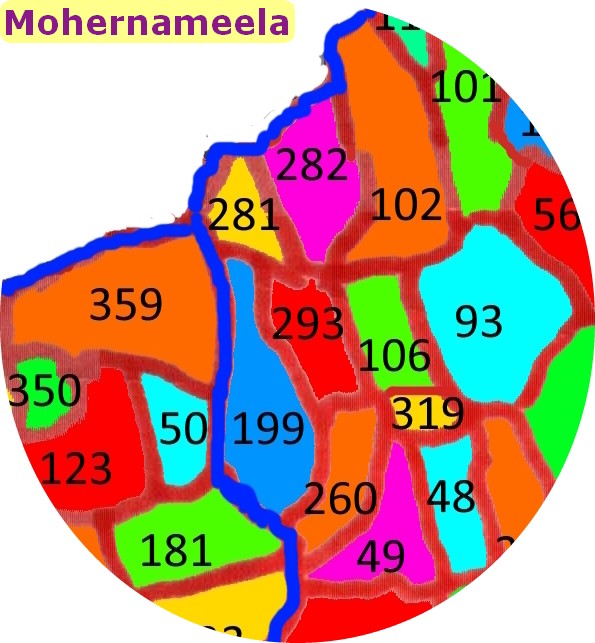
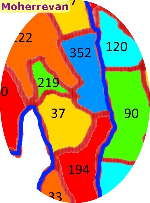
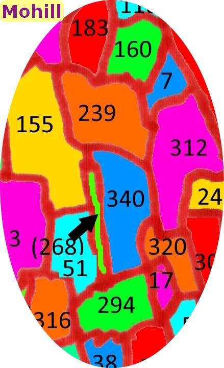
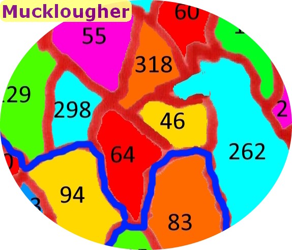
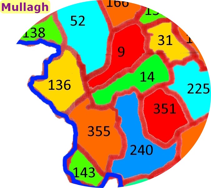
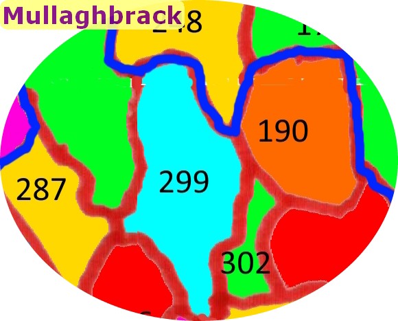
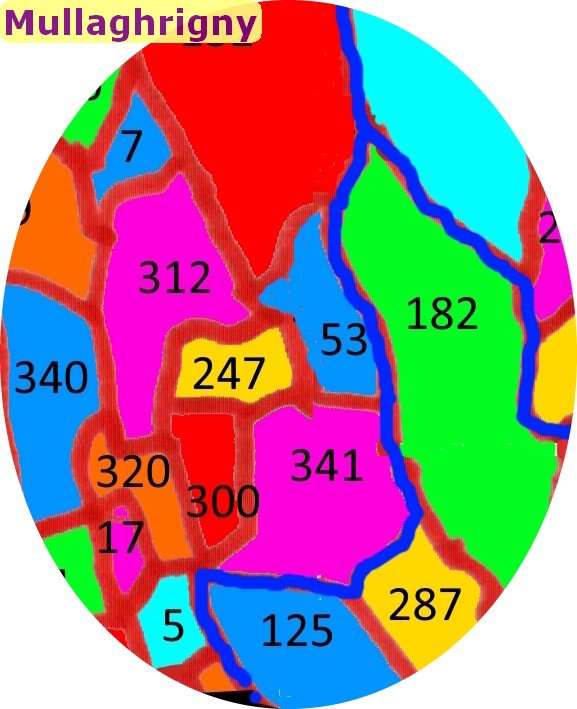
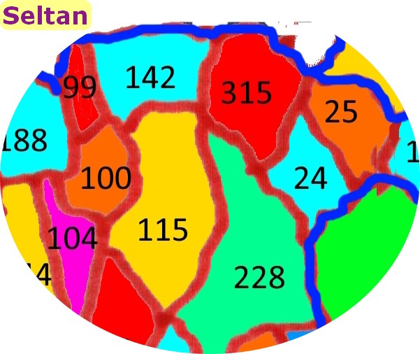
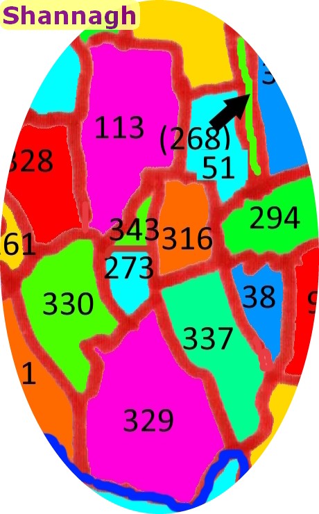
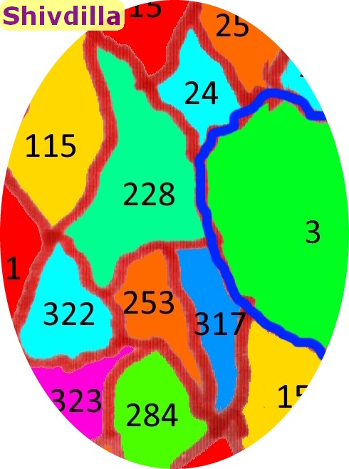
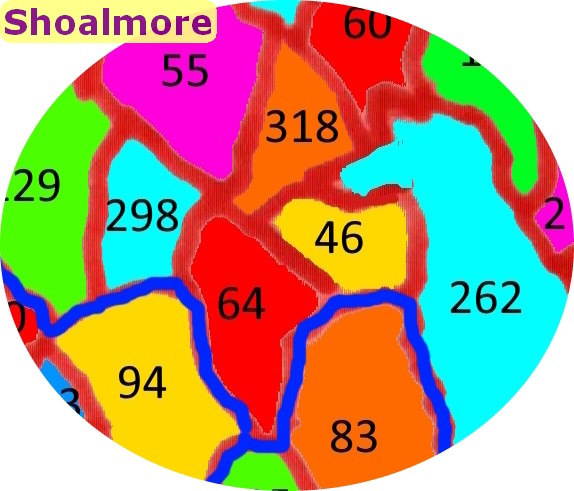
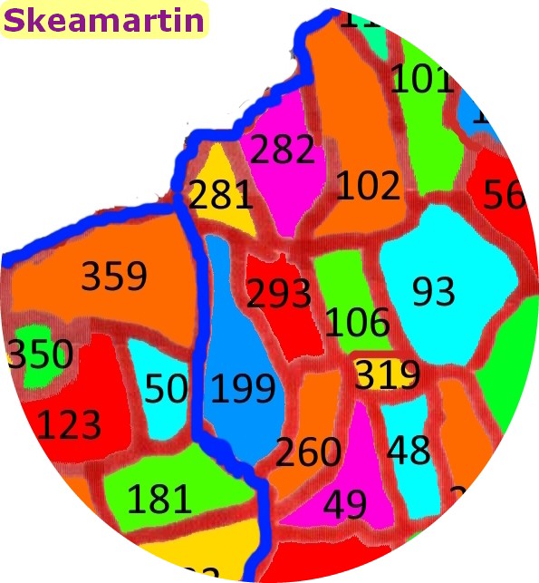
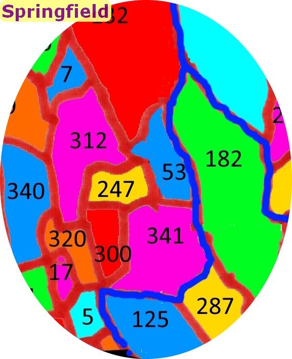
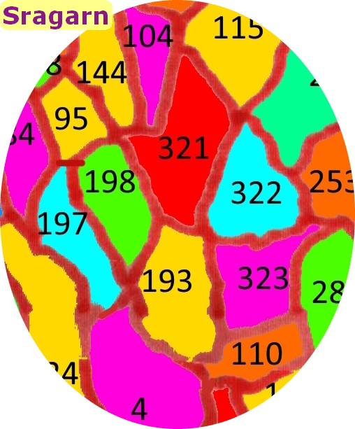
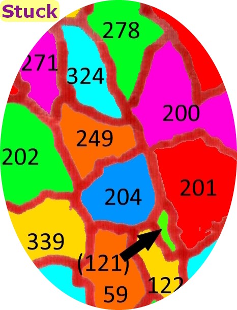
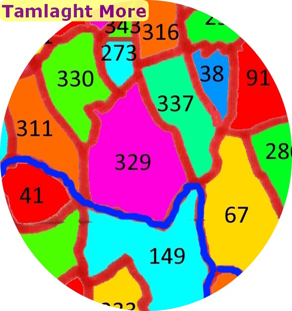
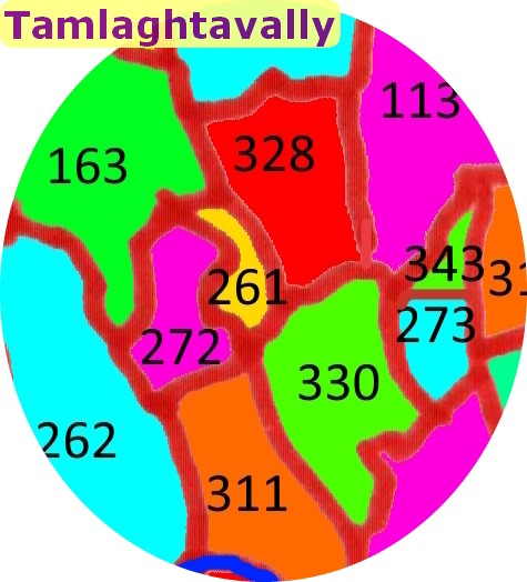
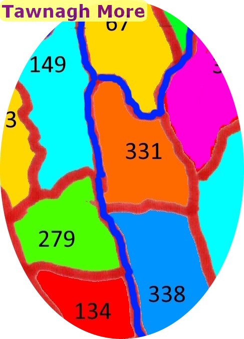
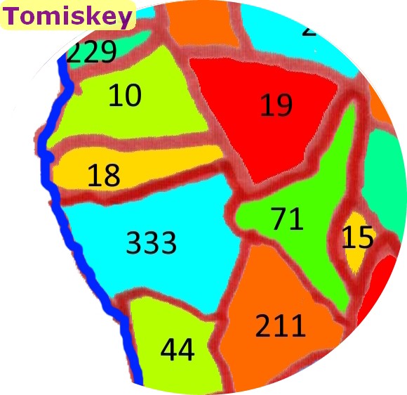
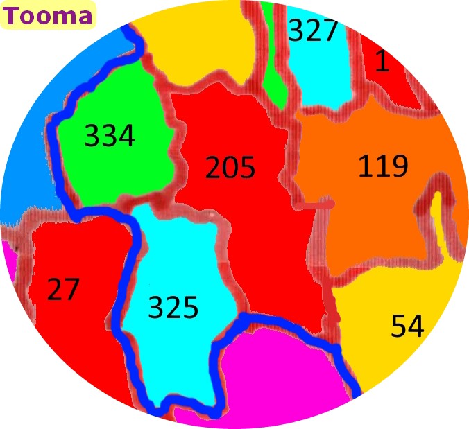
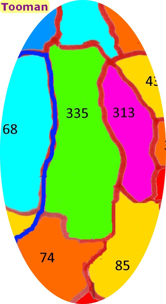
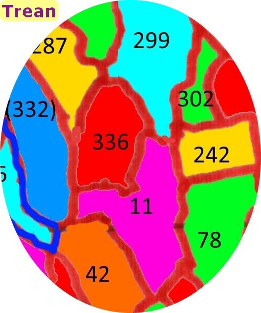
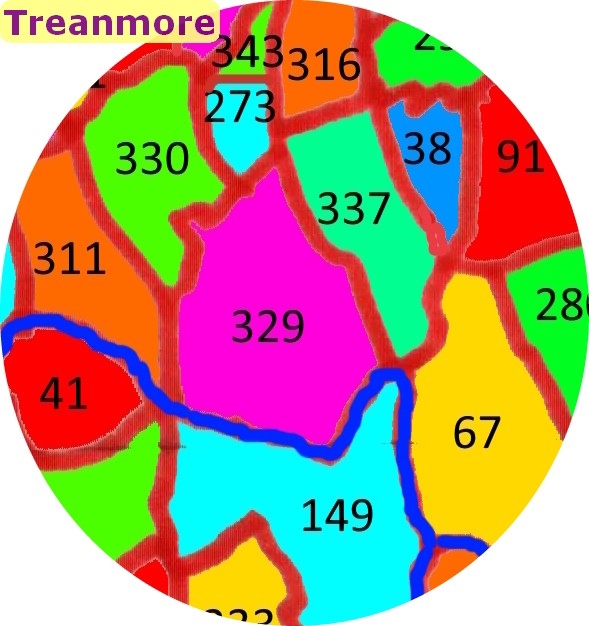
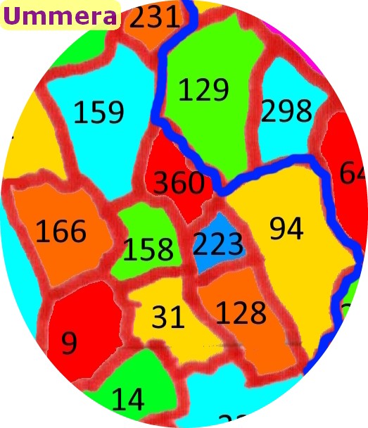
- There are 350 map images, shown in ascending alphabetical order. There is no search facility - you will need to scroll to find a townland of interest
- Each map is named at the top right corner
- Each map will show the townland named on the image file (e.g. Adoon is somewhere on the map named Adoon) as are (at least most of) its adjacent townlands
- All townlands are listed by code number only - see next point
- It is recommended that before starting separate tabs/windows should be opened for each of the following pages:
- Townlands by Name - look for the townland of interest on this and note its number
- Townlands by Code - check this for the numbers of adjacent townlands to learn their names
- It may prove possible at some future point to include the townland code number in its title on the map, but as of now all that is offered is manual searching as outlined above
Townland Maps